Tangier, Nova Scotia
| Tangier | |
|---|---|
| Rural Community | |
 Tangier Post Office | |
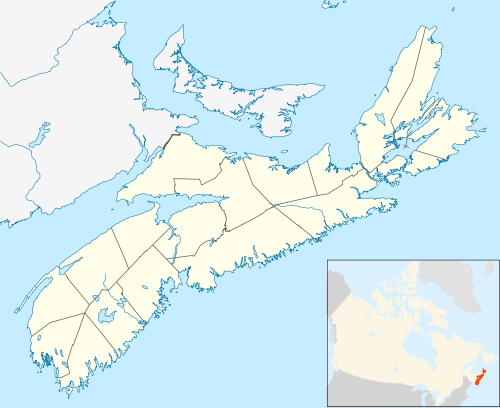 Tangier Location within Nova Scotia | |
| Coordinates: 44°47′59″N 62°42′0″W / 44.79972°N 62.70000°WCoordinates: 44°47′59″N 62°42′0″W / 44.79972°N 62.70000°W | |
| Country |
|
| Province |
|
| Municipality | Halifax Regional Municipality |
| District | 1 |
| Government | |
| • Governing Council | Halifax Regional Council |
| Area | |
| • Total | 230.777 km2 (89.103 sq mi) |
| Time zone | UTC-4 (AST) |
| • Summer (DST) | UTC-3 (ADT) |
| Canadian Postal code | B0J 3H0 |
| Telephone Exchange | 902 772 |
| Highways |
|
| Part of a series about Places in Nova Scotia | |
Tangier is a small rural community on the Eastern Shore of Nova Scotia, in the Halifax Regional Municipality, approximately 23 kilometres (14 mi) west of Sheet Harbour, on Trunk 7. Tangier has a church and several private fishing wharfs. Trunk 7 runs through the community, as well as the Marine Drive. There are also a number of other minor roads, both paved and unpaved.
The name is most likely taken from the shipwreck of the schooner Tangier in 1830.[1]
Places adjacent to Tangier, Nova Scotia | ||||||||||
|---|---|---|---|---|---|---|---|---|---|---|
| ||||||||||
References
- ↑ Hamiton, William Baillie (1996). Place Names of Atlantic Canada (illustrated, reprint ed.). University of Toronto Press. p. 407. ISBN 9780802075703. Retrieved 19 September 2017.
External links
This article is issued from
Wikipedia.
The text is licensed under Creative Commons - Attribution - Sharealike.
Additional terms may apply for the media files.