Tadjoura Airport
Coordinates: 11°47′N 042°55′E / 11.783°N 42.917°E
| Tadjoura Airport | |||||||||||
|---|---|---|---|---|---|---|---|---|---|---|---|
 | |||||||||||
| Summary | |||||||||||
| Airport type | Public | ||||||||||
| Serves | Tadjoura, Djibouti | ||||||||||
| Elevation AMSL | 246 ft / 75 m | ||||||||||
| Map | |||||||||||
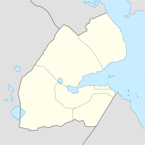 TDJ Location within Djibouti | |||||||||||
| Runways | |||||||||||
| |||||||||||
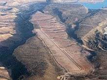
Tadjoura Airport (IATA: TDJ, ICAO: HDTJ) is an airport serving the city of Tadjoura in the north-central Tadjoura Region of Djibouti.[1]
References
- ↑ Airport information for HDTJ at Great Circle Mapper.
External links
This article is issued from
Wikipedia.
The text is licensed under Creative Commons - Attribution - Sharealike.
Additional terms may apply for the media files.