Assa-Gueyla Airport
| Assa-Gueyla Airport | |||||||||||
|---|---|---|---|---|---|---|---|---|---|---|---|
| Summary | |||||||||||
| Airport type | Public | ||||||||||
| Serves | `Assa Gaila | ||||||||||
| Location | Djibouti | ||||||||||
| Elevation AMSL | 2,050 ft / 625 m | ||||||||||
| Coordinates | 12°11′20″N 42°38′15″E / 12.18889°N 42.63750°ECoordinates: 12°11′20″N 42°38′15″E / 12.18889°N 42.63750°E | ||||||||||
| Map | |||||||||||
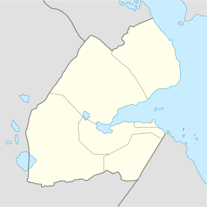 HDAG Location of the airport in Djibouti | |||||||||||
| Runways | |||||||||||
| |||||||||||
|
Source: Google Maps[1] | |||||||||||
Assa-Gueyla Airport (ICAO: HDAG) is an airstrip serving the village of `Assa Gaila in the Tadjourah Region of Djibouti.[2][3]
References
- ↑ Google Maps - Assa-Gueyla
- ↑ Airports in Djibouti at Aircraft Charter World
- ↑ Airport information for HDAG at Great Circle Mapper.
- OurAirports - Djibouti
- Assa-Gueyla
- Google Earth
This article is issued from
Wikipedia.
The text is licensed under Creative Commons - Attribution - Sharealike.
Additional terms may apply for the media files.