Herkale Airport
| Herkale Airport | |||||||||||
|---|---|---|---|---|---|---|---|---|---|---|---|
| Summary | |||||||||||
| Airport type | Public | ||||||||||
| Operator | Directorate of Civil Aviation and Meteorology | ||||||||||
| Elevation AMSL | 38 ft / 12 m | ||||||||||
| Coordinates | 12°26′30″N 43°17′30″E / 12.44167°N 43.29167°ECoordinates: 12°26′30″N 43°17′30″E / 12.44167°N 43.29167°E | ||||||||||
| Map | |||||||||||
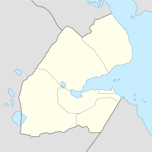 HDHE Location of the airport in Djibouti | |||||||||||
| Runways | |||||||||||
| |||||||||||
|
Source: Google Maps[1] | |||||||||||
Herkale Airport (ICAO: HDHE) is an airstrip near the coastal town of Fagal, Djibouti.
See also
References
External links
This article is issued from
Wikipedia.
The text is licensed under Creative Commons - Attribution - Sharealike.
Additional terms may apply for the media files.