Týniště nad Orlicí
| Týniště nad Orlicí | |||
| Town | |||
 Town square | |||
|
|||
| Country | Czech Republic | ||
|---|---|---|---|
| Region | Hradec Králové | ||
| District | Rychnov nad Kněžnou | ||
| Commune | Kostelec nad Orlicí | ||
| Municipality | Týniště nad Orlicí | ||
| Rivers | Tichá Orlice, Divoká Orlice | ||
| Elevation | 253 m (830 ft) | ||
| Coordinates | 50°9′12″N 16°4′43″E / 50.15333°N 16.07861°ECoordinates: 50°9′12″N 16°4′43″E / 50.15333°N 16.07861°E | ||
| Area | 52.44 km2 (20.25 sq mi) | ||
| Population | 6,234 (2006-07-03) | ||
| Density | 119/km2 (308/sq mi) | ||
| First mentioned | 1361 | ||
| Mayor | Libor Koldinský (TOP 09) | ||
| Timezone | CET (UTC+1) | ||
| - summer (DST) | CEST (UTC+2) | ||
| Postal code | 517 21 - 517 22 | ||
  Location in the Czech Republic | |||
| Wikimedia Commons: Týniště nad Orlicí | |||
| Statistics: statnisprava.cz | |||
| Website: Official website | |||


Týniště nad Orlicí (Czech pronunciation: [ˈtiːɲɪʃcɛ ˈnatʔorlɪtsiː]) is a town in the Hradec Králové Region of the Czech Republic. It has around 6,300 inhabitants.
It was an important railway station since there were crossing of StEG and ÖNWB and goods were transferred here from and to wagons between these companies.
Villages Křivice, Petrovice, Petrovičky, Rašovice and Štěpánovsko are administrative parts of Týniště nad Orlicí.
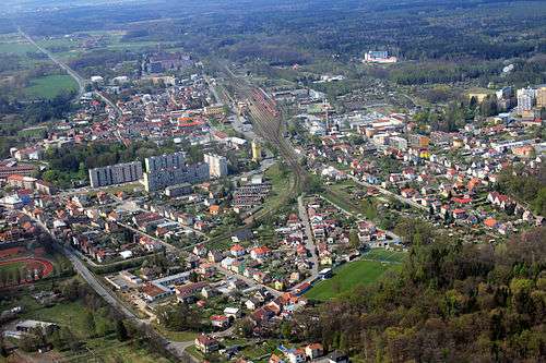
Aerial view
External links

- Municipal website (in Czech)
This article is issued from
Wikipedia.
The text is licensed under Creative Commons - Attribution - Sharealike.
Additional terms may apply for the media files.