Staining, Lancashire
| Staining | |
|---|---|
 Staining Windmill | |
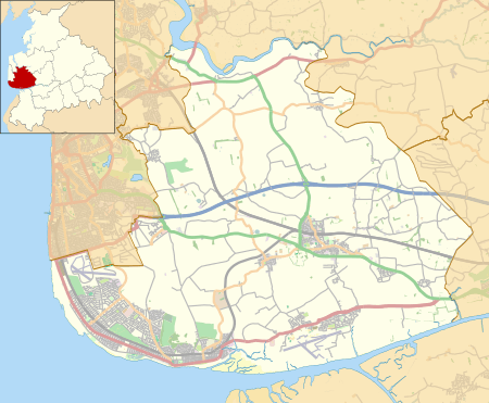 Staining Shown within Fylde Borough 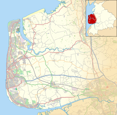 Staining Shown within the Fylde  Staining Staining shown within Lancashire | |
| Population | 2,290 (2011 Census) |
| OS grid reference | SD347361 |
| Civil parish |
|
| District | |
| Shire county | |
| Region | |
| Country | England |
| Sovereign state | United Kingdom |
| Post town | BLACKPOOL |
| Postcode district | FY3 |
| Dialling code | 01253 |
| Police | Lancashire |
| Fire | Lancashire |
| Ambulance | North West |
| EU Parliament | North West England |
| UK Parliament | |
Staining is a village and civil parish in Lancashire, England, situated on a coastal plain called the Fylde. it is close to the seaside resorts of Blackpool and Lytham St Annes, as well as the market town of Poulton-le-Fylde. In the 2001 United Kingdom Census, the parish had a population of 2,312, increasing to 2,290 at the 2011 Census.[1] Historically, the village was part of the township of Hardhorn-with-Newton. Now the hamlet of Newton is part of the civil parish of Staining; Hardhorn belongs to Poulton-le-Fylde.
History
At the time of the Norman Conquest of England, Staining was part of the hundred of Amounderness, in the possession of Earl Tostig, the brother of King Harold II.[2] Tostig died at the Battle of Stamford Bridge and his lands were subsequently taken over by the Normans. Between 1069 and 1086 William the Conqueror gave Amounderness to Anglo-Norman baron Roger the Poitevin.[3] Staining was recorded in the Domesday Book of 1086 as Staininghe.[4] The village was estimated in that survey to contain six carucates of land.[4]
Governance
Historically, Staining, as part of the township of Hardhorn-with-Newton, was in the ecclesiastical parish of Poulton-le-Fylde, in the hundred of Amounderness, an ancient division of the historic county of Lancashire.[2][5] Today, Staining is a civil parish, governed by a parish council.
Staining is part of the electoral ward of Staining and Weeton. The population of this ward at the 2011 census was 3,146.[6]
Staining is represented in the House of Commons of the Parliament of the United Kingdom as part of Fylde. It elects one MP by the first past the post system of election. Since the 2010 general election, Fylde has been represented at Parliament by Conservative MP Mark Menzies.[7] The parish is also part of the North West England constituency of the European Parliament.
Geography
Neighbouring towns, villages and places. | |
|---|---|
Immediately south of Staining is Marton Mere, a Site of Special Scientific Interest.
Staining has a generally temperate maritime climate like much of the British Isles, with cool summers and mild winters. There is an annual average rainfall of 871.3 millimetres (34.30 in).[8]
| Climate data for Blackpool (1971–2000 averages) | |||||||||||||
|---|---|---|---|---|---|---|---|---|---|---|---|---|---|
| Month | Jan | Feb | Mar | Apr | May | Jun | Jul | Aug | Sep | Oct | Nov | Dec | Year |
| Average high °C (°F) | 6.8 (44.2) |
7.1 (44.8) |
9.1 (48.4) |
11.6 (52.9) |
15.2 (59.4) |
17.3 (63.1) |
19.4 (66.9) |
19.4 (66.9) |
17.0 (62.6) |
13.7 (56.7) |
9.8 (49.6) |
7.6 (45.7) |
12.9 (55.2) |
| Average low °C (°F) | 1.7 (35.1) |
1.6 (34.9) |
3.1 (37.6) |
4.2 (39.6) |
6.9 (44.4) |
10.0 (50) |
12.4 (54.3) |
12.3 (54.1) |
10.2 (50.4) |
7.3 (45.1) |
4.3 (39.7) |
2.5 (36.5) |
6.4 (43.5) |
| Average rainfall mm (inches) | 81.1 (3.193) |
58.7 (2.311) |
68.3 (2.689) |
48.9 (1.925) |
49.0 (1.929) |
59.8 (2.354) |
59.5 (2.343) |
73.4 (2.89) |
82.5 (3.248) |
97.9 (3.854) |
94.0 (3.701) |
58.3 (2.295) |
871.3 (34.303) |
| Source: Met Office | |||||||||||||
Demography
At the 2011 UK Census, the civil parish of Staining had a population of 2,290, with 953 households.
| Population growth in Hardhorn-With-Newton and Staining parish since 1801 | |||||||||||||||||||||||
|---|---|---|---|---|---|---|---|---|---|---|---|---|---|---|---|---|---|---|---|---|---|---|---|
| Year | 1801 | 1811 | 1821 | 1831 | 1841 | 1851 | 1861 | 1871 | 1881 | 1891 | 1901 | 1911 | 1921 | 1931 | 1939 | 1951 | 1961 | 1971 | 1981 | 1991 | 2001 | 2011 | |
| Population | 311 | 386 | 420 | 462 | 597 | 858 | 764 | 1,036 | 794 | 923 | 2,312 | 2,290 | |||||||||||
| Sources: [9][10] | |||||||||||||||||||||||
Landmarks
Staining Windmill was probably built in the late 18th century. It is white, constructed of rendered brick and has a wooden cap. It has been designated a Grade II listed building by English Heritage.[11]
St Luke's Church was built in 1865. It is an Anglican church in the Diocese of Blackburn, the archdeaconry of Lancaster and the deanery of Blackpool.
See also
References
- Footnotes
- ↑ "Parish population 2011". Retrieved 4 June 2015.
- 1 2 Farrer & Brownbill (1912), pp. 68–71
- ↑ Gooderson (1980), p. 36
- 1 2 Porter (1876), p. 292
- ↑ Farrer & Brownbill (1912), pp. 219–25
- ↑ "Ward population 2011". Retrieved 4 June 2015.
- ↑ "Mark Menzies — Member of Parliament for Fylde", official website, Conservative Party, retrieved 20 November 2010
- ↑ "Blackpool 1971–2000 Averages", official website, Met Office, archived from the original on 20 August 2008, retrieved 20 November 2010
- ↑ Fishwick (1885), p. 36
- ↑ "Staining CP/tn Population", A Vision of Britain through Time, Great Britain Historical GIS, retrieved 20 November 2010
- ↑ "Staining Windmill, Mill Lane", Heritage Gateway, English Heritage, retrieved 20 November 2010
- Bibliography
- Farrer, William; Brownbill, J., eds. (1912), "Amounderness hundred", A History of the County of Lancaster: Volume 7, Constable, OCLC 59626695
- Farrer, William; Brownbill, J., eds. (1912), "The Parish of Poulton-le-Fylde", A History of the County of Lancaster: Volume 7, Constable, OCLC 59626695
- Fishwick, Henry (1885), The History of the Parish of Poulton-le-Fylde, in the County of Lancaster, Manchester: for the Chetham Society, OCLC 5823780
- Gooderson, P. J. (1980), A History of Lancashire, London: Batsford, ISBN 0-7134-2588-1
- Porter, John (1876), History of the Fylde of Lancashire, W. Porter, OCLC 12931605
External links

Geography of the Borough of Fylde | ||
|---|---|---|
| Towns | ||
| Villages | ||
| Parishes | ||
| Topography |
| |