Staffanstorp
| Staffanstorp | ||
|---|---|---|
 Staffanstorps gästgivaregård in March 2012 | ||
| ||
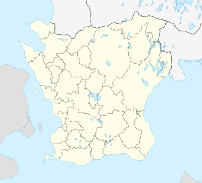 Staffanstorp 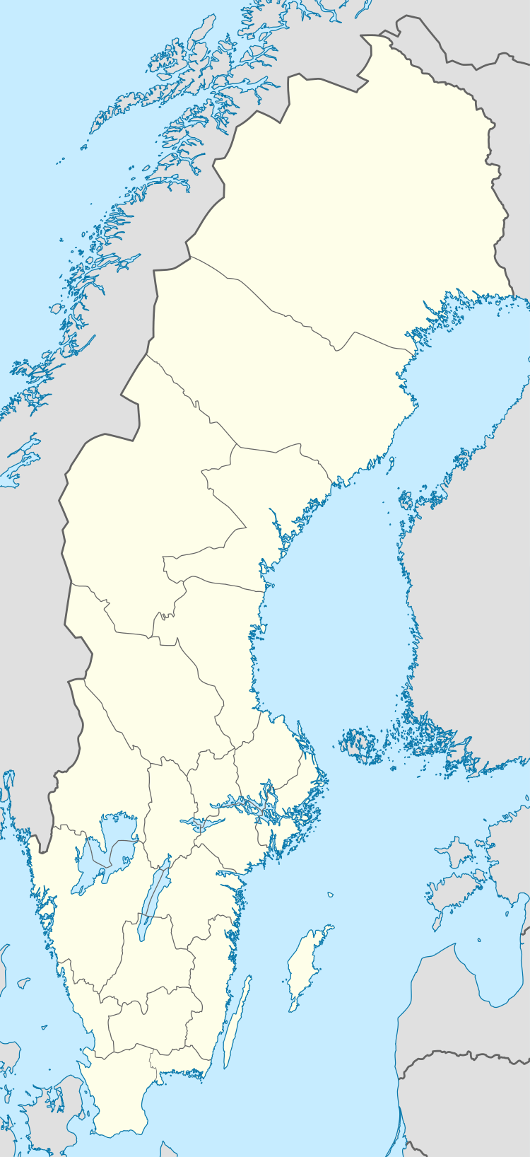 Staffanstorp | ||
| Coordinates: 55°38′N 13°12′E / 55.633°N 13.200°ECoordinates: 55°38′N 13°12′E / 55.633°N 13.200°E | ||
| Country | Sweden | |
| Province | Skåne | |
| County | Skåne County | |
| Municipality | Staffanstorp Municipality | |
| Area[1] | ||
| • Total | 6.63 km2 (2.56 sq mi) | |
| Population (31 December 2010)[1] | ||
| • Total | 14,808 | |
| • Density | 2,235/km2 (5,790/sq mi) | |
| Time zone | UTC+1 (CET) | |
| • Summer (DST) | UTC+2 (CEST) | |

Staffanstorp is a locality and the seat of Staffanstorp Municipality, Skåne County, Sweden with 14,808 inhabitants in 2010.[1] Staffanstorp is the largest Scanian settlement never to acquire town privileges before 1971, when they were abolished in Sweden.
Geography


The town is situated at the center of a large triangular fertile plain, reaching approximately 25 kilometres from the Øresund strait inwards in Scania. The base of the triangle follows the coast, approximately 25 kilometres starting in Malmö in the south.
History
As a village it is mentioned in 14th century sources, but it would remain fairly insignificant in the shadow of more important towns such as Lund, Dalby and Malmö. An inn and the local hundred-jail with two cells were located there in the 19th century.
Staffanstorp has been the site for Housing Trade Shows, the first in 1970 with 43 furnished homes and 100.000 paying visitors, and the most recent in 1997,[2] with 25 exhibited homes. In the 1990s the town center was recreated with inspiration from New Urbanism. The unpopular buildings from the 1960s were literally covered by new roofs, façades and more stories built in a traditional Scanian pastiche architectural style , a couple of multi-storey buildings were added on a lot that had previously been the local stadium, and the road plan was further complicated in order to make drivers slow down and if possible avoid going through the center at all.
Schools
Staffanstorp used to have two högstadieskola schools (senior level of compulsory school), Centralskolan and Hagalidskolan. Centralskolan was located in the central part of Staffanstorp. It had approximately 500 pupils in 2005, but now the amount is about 250 due to fewer born children.
In 2013, Centralskolan its changed name to Baldersskolan and began housing students between the ages 6 to 15.
Notable people
- Renate Cerljen Miss Universe Sweden 2009
- Dick Harrison historian
- Anders Johnsson (sport shooter)
- Malin Strömberg swimmer in 1992 Summer Olympics
- Anders Jansson
- Jonas Ridderstråle business speaker and author
References
| Wikimedia Commons has media related to Staffanstorp. |
- 1 2 3 "Tätorternas landareal, folkmängd och invånare per km2 2005 och 2010" (in Swedish). Statistics Sweden. 14 December 2011. Archived from the original on 10 January 2012. Retrieved 10 January 2012.
- ↑ http://www.scandinaviandesign.com/bo97/bertil/index.htm
| Localities | ||
|---|---|---|
Municipalities and seats of Skåne County | ||
|---|---|---|
| Municipalities | ||
| Municipal seats | ||
| Authority control |
|---|