Kävlinge
| Kävlinge | ||
|---|---|---|
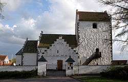 Kävlinge Church | ||
| ||
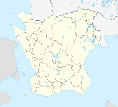 Kävlinge 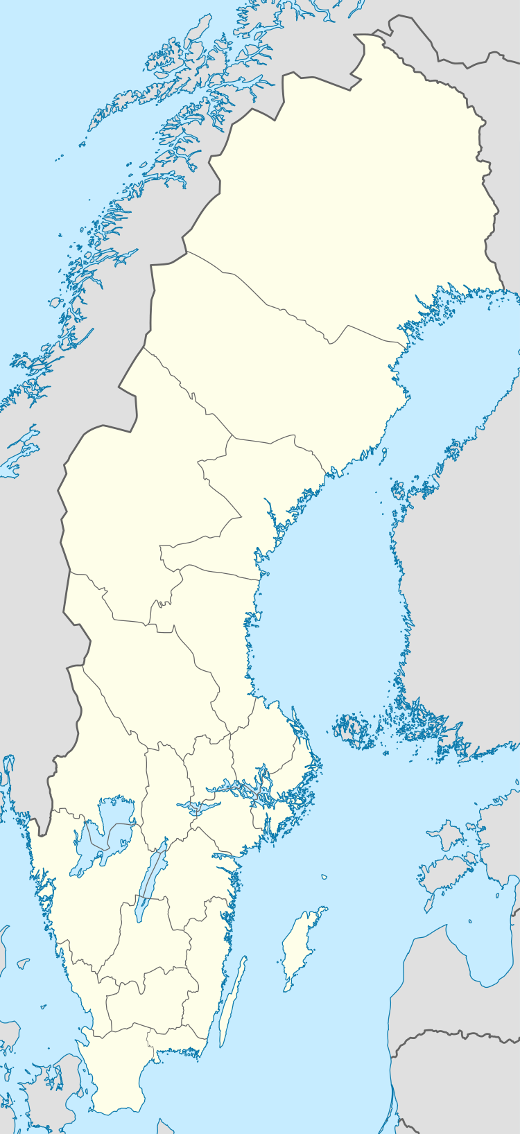 Kävlinge | ||
| Coordinates: 55°47′38″N 13°06′48″E / 55.79389°N 13.11333°ECoordinates: 55°47′38″N 13°06′48″E / 55.79389°N 13.11333°E | ||
| Country | Sweden | |
| Province | Skåne | |
| County | Skåne County | |
| Municipality | Kävlinge Municipality | |
| Area[1] | ||
| • Total | 4.68 km2 (1.81 sq mi) | |
| Population (31 December 2010)[1] | ||
| • Total | 9,049 | |
| • Density | 1,932/km2 (5,000/sq mi) | |
| Time zone | UTC+1 (CET) | |
| • Summer (DST) | UTC+2 (CEST) | |

Kävlinge is a locality and the seat of Kävlinge Municipality, Skåne County, Sweden with 9,049 inhabitants in 2010.[1]
In 1996, a train containing large amounts of ammonia derailed and around 9,000 people had to be evacuated from the area. This was the biggest evacuation operation in Swedish history.[2]
Near Kävlinge is the site of the Hög passage grave, a Bronze Age barrow covering a neolithic burial chamber. Hög means mound from the Old Norse word haugr for hill. The finds from the excavations are in the Lund University Historic Museum.[3]
Battle of Lund
Kävlinge is located north of Lund and has a river passing through called Kävlingeån (translated Kävlinge River). The river played an important role at the events leading up to the Battle of Lund, which was a battle in the Scanian War.
References
- 1 2 3 "Tätorternas landareal, folkmängd och invånare per km2 2005 och 2010" (in Swedish). Statistics Sweden. 14 December 2011. Archived from the original on 10 January 2012. Retrieved 10 January 2012.
- ↑ Observatörsrapport: Ammoniakolyckan i Kävlinge april 1996. Räddningsverket
- ↑ Hög Passage Grave - Passage Grave in Sweden in Skåne
External links
Municipalities and seats of Skåne County | ||
|---|---|---|
| Municipalities | ||
| Municipal seats | ||