St Helens Beach, Queensland
| St Helens Beach Queensland | |||||||||||||||
|---|---|---|---|---|---|---|---|---|---|---|---|---|---|---|---|
 St Helens Beach | |||||||||||||||
| Coordinates | 20°50′09″S 148°50′26″E / 20.8358°S 148.8405°ECoordinates: 20°50′09″S 148°50′26″E / 20.8358°S 148.8405°E | ||||||||||||||
| Postcode(s) | 4798 | ||||||||||||||
| LGA(s) | Mackay Region | ||||||||||||||
| State electorate(s) | Whitsunday | ||||||||||||||
| Federal Division(s) | Dawson | ||||||||||||||
| |||||||||||||||
St Helens Beach is a town and a locality in the Mackay Region, Queensland, Australia.[1][2]
History
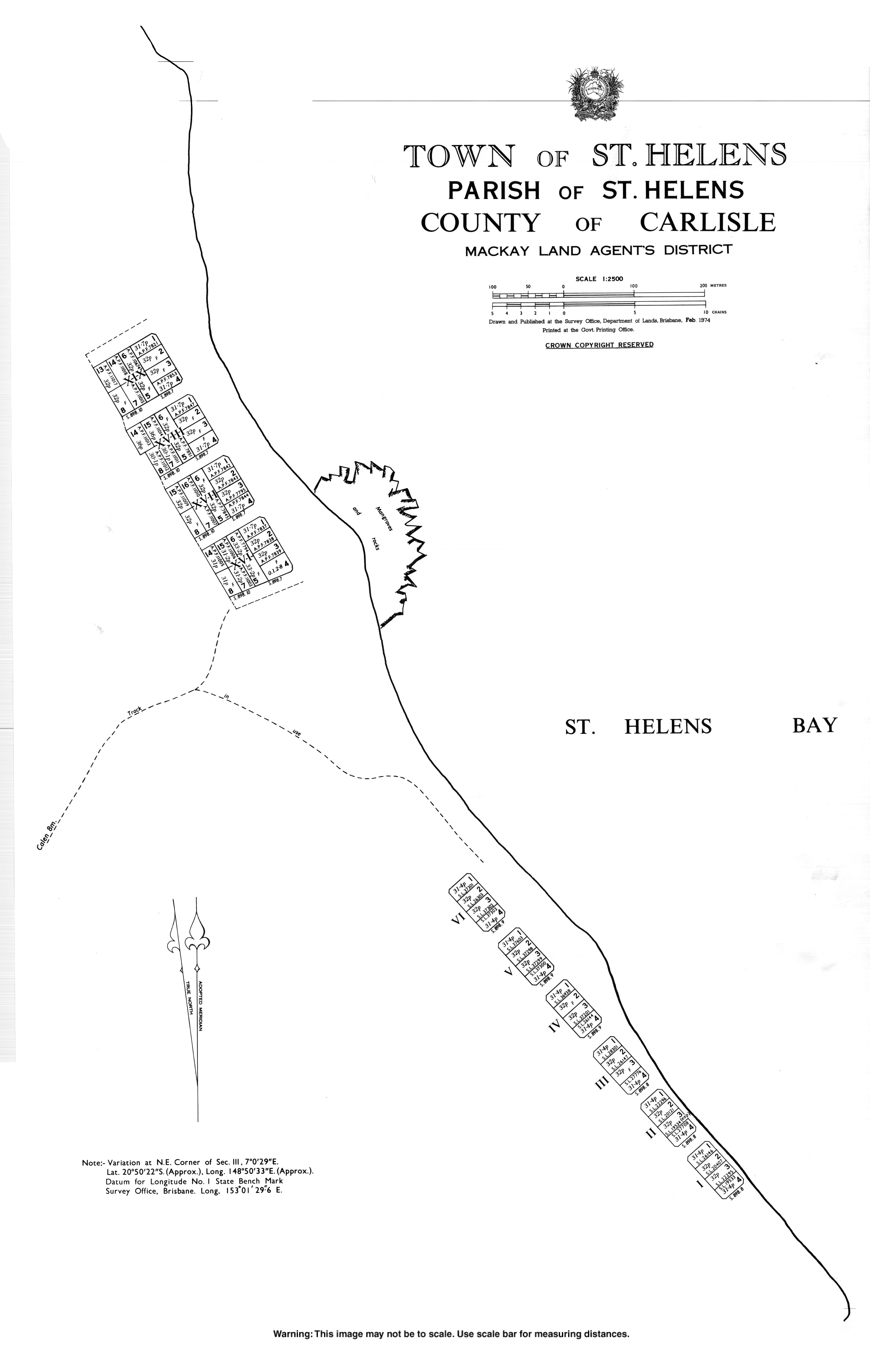
The town was originally known as Wootaroo but was changed to St Helens Beach by the Queensland Place Names Board on 1 April 1973. St Helens was the name of from a pastoral run belonging to pastoralist John Macartney in the 1870s. The word ''beach'' is a reference to the sandy beach along the coastline of the Coral Sea.[1]
References
- 1 2 "St Helens Beach - town in Mackay Region (entry 40893)". Queensland Place Names. Queensland Government. Retrieved 6 November 2017.
- ↑ "St Helens Beach - locality in Mackay Region (entry 46841)". Queensland Place Names. Queensland Government. Retrieved 6 November 2017.
External links
This article is issued from
Wikipedia.
The text is licensed under Creative Commons - Attribution - Sharealike.
Additional terms may apply for the media files.