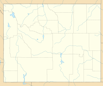
South Wolcott Street Historic District
|
South Wolcott Street Historic District | |
 | |
| Location | Roughly bounded by S. Center St., E. Ninth St., S. Wolcott St., E. Seventh St., S. Beech St., and E. Thirteenth St., Casper, Wyoming |
|---|---|
| Coordinates | 42°50′25″N 106°19′21″W / 42.84028°N 106.32250°WCoordinates: 42°50′25″N 106°19′21″W / 42.84028°N 106.32250°W |
| Area | 61 acres (25 ha) |
| Architectural style | Colonial Revival, Late 19th And Early 20th Century American Movements, Tudor Revival |
| NRHP reference # | 88002609[1] |
| Added to NRHP | November 23, 1988 |
The South Wolcott Street Historic District in Casper, Wyoming is a 61 acres (25 ha) historic district covering about 22 residential blocks south of downtown.[2] The district is roughly bounded by S. Center St., E. Ninth St., S. Wolcott St., E. Seventh St., S. Beech St., and E. Thirteenth St. It was listed on the National Register of Historic Places in 1988.[1]
It included 154 contributing buildings. Significant ones include:
- Bryant Butler Brooks House, at 1208 South Wolcott Street, a red brick estate on two large lots, with a port cochere
- 1025 South Durbin Street, a white clapboarded house.[2]
References
- 1 2 National Park Service (2013-11-02). "National Register Information System". National Register of Historic Places. National Park Service.
- 1 2 Carl McWilliams (April 22, 1988). "National Register of Historic Places Registration: South Wolcott Street Historic District". National Park Service. Retrieved August 27, 2018. With accompanying 74 photos from 1987-88
This article is issued from
Wikipedia.
The text is licensed under Creative Commons - Attribution - Sharealike.
Additional terms may apply for the media files.