Slap, Sevnica
| Slap | |
|---|---|
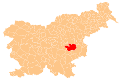
 Slap Location in Slovenia | |
| Coordinates: 46°3′48.66″N 15°12′8.68″E / 46.0635167°N 15.2024111°ECoordinates: 46°3′48.66″N 15°12′8.68″E / 46.0635167°N 15.2024111°E | |
| Country |
|
| Traditional region | Styria |
| Statistical region | Lower Sava |
| Municipality | Sevnica |
| Area | |
| • Total | 0.34 km2 (0.13 sq mi) |
| Elevation | 274.5 m (900.6 ft) |
| Population (2002) | |
| • Total | 20 |
| [1] | |
Slap (pronounced [ˈslaːp]) is a small settlement above the left bank of the Sava River north of Loka pri Zidanem Mostu in the Municipality of Sevnica in east-central Slovenia. The area is part of the historical region of Styria. The municipality is now included in the Lower Sava Statistical Region.[2]
References
External links
This article is issued from
Wikipedia.
The text is licensed under Creative Commons - Attribution - Sharealike.
Additional terms may apply for the media files.