Sjenica Airport
| Sjenica Airport Dubinje Airport Аеродром Сјеница Aerodrom Sjenica | |||||||||||
|---|---|---|---|---|---|---|---|---|---|---|---|
| Summary | |||||||||||
| Airport type | Military | ||||||||||
| Operator | Military of Serbia | ||||||||||
| Serves |
Sjenica, | ||||||||||
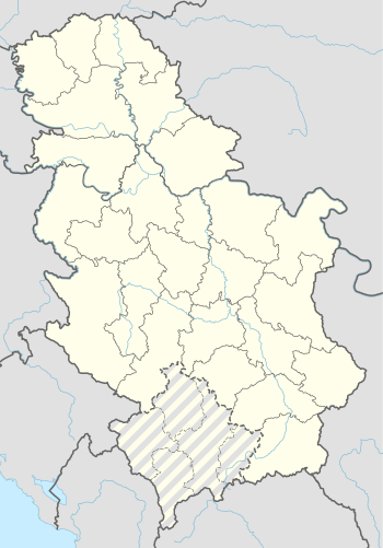
| Location | Sjenica | ||||||||||
| Elevation AMSL | 3,314 ft / 1,010 m | ||||||||||
| Coordinates | 43°16′28.20″N 20°03′00.96″E / 43.2745000°N 20.0502667°ECoordinates: 43°16′28.20″N 20°03′00.96″E / 43.2745000°N 20.0502667°E | ||||||||||
| Map | |||||||||||
 Sjenica Airport | |||||||||||
| Runways | |||||||||||
| |||||||||||
Sjenica Airport (Serbian: Аеродром Сјеница / Aerodrom Sjenica) (ICAO: LYSJ), also known as Dubinje Airport (Serbian: Аеродром Дубиње / Aerodrom Dubinje) is a military airport in Serbia, near the town of Sjenica on Pešter plateau. The airport is also near to the mountain resort Zlatar. The airport will be reconstructed to be operational for civil service.
History
The airport was built as a military one, and used by Yugoslav army air force. During the 1999 NATO bombing of FR Yugoslavia, it was damaged.
On September 27, 2006 the Military of Serbia announced that it would sell Sjenica Airport meaning that the airport would become public.
Future reconstruction
The management of Belgrade Nikola Tesla Airport have visited Sjenica Airport on May 18, 2006, and announced plans of making a project aimed at turning this airport into a public one. The airport will mostly be used for cargo and possible tourist transport. Local companies confirmed their interest for this project.
See also
Sources
- (in Serbian) Najavljen je mogući predlog da se otkupi vojni Aerodrom u Sjenici, na tromesečni period tokom godine, kada bi služio u civilne svrhe za kargo prevoz, a u čijem okruženju bi se mogli izgraditi golf tereni, što bi, kako je rečeno, u predele skoro netaknute prirode, privuklo i strane turiste. (Danas, 29.10.2009)
- (in Serbian) Sjenica: Ostaje vojni aerodrom (FoNet, 24.09.2009)
- (in Serbian) Privreda Novog Pazara, koja tesno sarađuje sa Turskom, najavljivala je obnovu vojnog Aerodroma „Sjenica”, koji je takođe teško oštećen u bombardovanju. Vojska je voljna da proda taj aerodrom, ali kupaca i investitora i dalje nema. (Politika, 31.05.2009)
- (in Serbian) TUŽNA SUDBINA AERODROMA DUBINJE KOD SJENICE - Na pisti napasaju ovce
- (in Serbian) "Krtice" (Moles) - MiG-21s in bunker - Four MiG-21 and one G-4 Super Galeb buried in kamponir's at military airport Dubinje near Sjenica
- (in Serbian) U Sjenici spremni da kupe vojni aerodrom
- (in Bosnian) Aerodrom Sjenica - "Dubinje"
- (in Serbian) Poseta predstavnika JP Aerodrom "Nikola Tesla" Aerodromu u Sjenici
- (in Serbian) "Kontrola leta" (NIN)
External links
| Wikimedia Commons has media related to Sjenica Airport. |
- (in English) Dubinje on earthsearch.net
- Sjenica Airport map