Progar Airport
| Progar Airport Аеродром Прогар Aerodrom Progar | |||||||||||
|---|---|---|---|---|---|---|---|---|---|---|---|
| Summary | |||||||||||
| Airport type | Civil | ||||||||||
| Operator | ? | ||||||||||
| Serves | Belgrade | ||||||||||
| Location | Progar, Serbia | ||||||||||
| Elevation AMSL | 227 ft / 69 m | ||||||||||
| Coordinates | 44°43′22.65″N 20°10′50.87″E / 44.7229583°N 20.1807972°ECoordinates: 44°43′22.65″N 20°10′50.87″E / 44.7229583°N 20.1807972°E | ||||||||||
| Map | |||||||||||
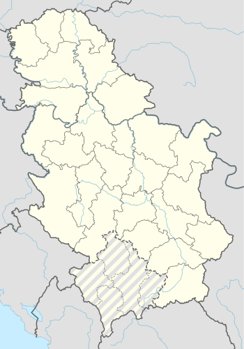 Progar Airport | |||||||||||
| Runways | |||||||||||
| |||||||||||
Progar Airport (Serbian: Аеродром Прогар / Aerodrom Progar) (ICAO: LYPB), is a airport in Serbia mostly used for agricultural purposes. The grass runway is located near the village Progar, near the town Surčin, about 42 km southwest from the center city of Belgrade.
This article is issued from
Wikipedia.
The text is licensed under Creative Commons - Attribution - Sharealike.
Additional terms may apply for the media files.