Bojnik Airport
| Bojnik Airport Kosančić Airport Аеродром Бојник Aerodrom Bojnik | |||||||||||
|---|---|---|---|---|---|---|---|---|---|---|---|
| Summary | |||||||||||
| Airport type | Military | ||||||||||
| Operator | Military of Serbia | ||||||||||
| Serves | Leskovac | ||||||||||
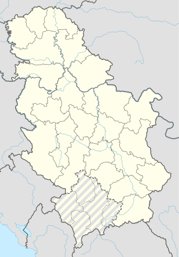
| Location | Kosančić, Serbia | ||||||||||
| Elevation AMSL | 814 ft / 248 m | ||||||||||
| Coordinates | 43°05′38.72″N 21°46′32.74″E / 43.0940889°N 21.7757611°ECoordinates: 43°05′38.72″N 21°46′32.74″E / 43.0940889°N 21.7757611°E | ||||||||||
| Map | |||||||||||
 Bojnik Airport | |||||||||||
| Runways | |||||||||||
| |||||||||||
Bojnik Airport (Serbian: Аеродром Бојник / Aerodrom Bojnik), also known as Kosančić Airport (Serbian: Аеродром Косанчић / Aerodrom Kosančić), is a military airport in the village of Kosančić, near the village of Bojnik, about 22 km southeasterly from the center city of Leskovac. The airport area comprises 0.42 km², including some barracks. This airport was used in air battles in the April War at beginning of World War II.
See also
External links
- (in Serbian) Poleće biznis sa vojne piste
- (in Serbian) KAMIKAZE u Aprilskom ratu 1941.godine
This article is issued from
Wikipedia.
The text is licensed under Creative Commons - Attribution - Sharealike.
Additional terms may apply for the media files.