Sir, Qalqilya
| Sir | |
|---|---|
| Other transcription(s) | |
| • Arabic | خربة صير |
 Sir Location of Sir within Palestine | |
| Coordinates: 32°11′49″N 35°03′38″E / 32.19694°N 35.06056°ECoordinates: 32°11′49″N 35°03′38″E / 32.19694°N 35.06056°E | |
| Palestine grid | 155/178 |
| Governorate | Tulkarm |
| Government | |
| • Type | Municipality |
| Population (2006) | |
| • Jurisdiction | 1,253 |
| Name meaning | The ruin of the fold[1] |
Sir (Arabic: خربة صير) is a Palestinian town in the Qalqilya Governorate in the eastern West Bank, located 8 kilometers east of Qalqilya.
History
Ceramics from the Byzantine era have been found here.[2]
Ottoman era
Sir was incorporated into the Ottoman Empire in 1517 with all of Palestine, and in 1596 it appeared in the tax registers as being in the Nahiya of Bani Sa'b, part of Nablus Sanjak. It had a population of 10 households, all Muslim. The villagers paid a fixed tax-rate of 33,3% on agricultural products, including wheat, barley, summer crops, olive trees, occasional revenues, goats and/or beehives, and a customary tax on subjects in Nablus region; a total of 7,000 akçe. Half of the revenue went to a Waqf.[3]
In 1882 the Palestine Exploration Fund's Survey of Western Palestine (SWP) noted at Khurbet Sir: "two rock cut tombs, a large mound with terraces cut in the sides, a good well below; has every appearance of an ancient site."[4]
Modern era
In the wake of the 1948 Arab–Israeli War, and after the 1949 Armistice Agreements, Sir came under Jordanian rule.
The Jordanian census of 1961 found 235 inhabitants in Kh. Sir.[5]
After the Six-Day War in 1967, Sir has been under Israeli occupation.
References
Bibliography
- Conder, C.R.; Kitchener, H.H. (1882). The Survey of Western Palestine: Memoirs of the Topography, Orography, Hydrography, and Archaeology. 2. London: Committee of the Palestine Exploration Fund.
- Dauphin, Claudine (1998). La Palestine byzantine, Peuplement et Populations. BAR International Series 726 (in French). III : Catalogue. Oxford: Archeopress. ISBN 0-860549-05-4.
- Government of Jordan, Department of Statistics (1964). First Census of Population and Housing. Volume I: Final Tables; General Characteristics of the Population (PDF).
- Hütteroth, Wolf-Dieter; Abdulfattah, Kamal (1977). Historical Geography of Palestine, Transjordan and Southern Syria in the Late 16th Century. Erlanger Geographische Arbeiten, Sonderband 5. Erlangen, Germany: Vorstand der Fränkischen Geographischen Gesellschaft. ISBN 3-920405-41-2.
- Palmer, E.H. (1881). The Survey of Western Palestine: Arabic and English Name Lists Collected During the Survey by Lieutenants Conder and Kitchener, R. E. Transliterated and Explained by E.H. Palmer. Committee of the Palestine Exploration Fund.
External links
- Welcome To Kh. Sir
- Jayyus Town (including Khirbet Sir) (Fact Sheet), Applied Research Institute–Jerusalem (ARIJ)
- Jayyus Town Profile (including Khirbet Sir Locality), ARIJ
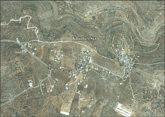
- Khirbet Sir, aerial photo, ARIJ
- Development priorities and needs in Jayyus (including Khirbet Sir Locality), ARIJ
- Survey of Western Palestine, Map 11: IAA, Wikimedia commons
| Cities |  | |
|---|---|---|
| Municipalities |
| |
| Villages |
| |