Hajjah, Qalqilya
| Hajjah | |
|---|---|
| Other transcription(s) | |
| • Arabic | حجة |
| • Also spelled |
Hajjah (official) Haja (unofficial) |
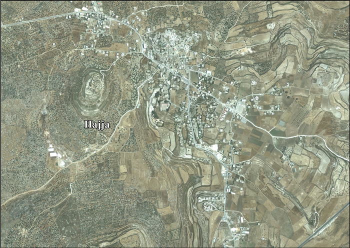
 Hajjah Location of Hajjah within Palestine | |
| Coordinates: 32°12′17″N 35°07′50″E / 32.20472°N 35.13056°ECoordinates: 32°12′17″N 35°07′50″E / 32.20472°N 35.13056°E | |
| Palestine grid | 162/179 |
| Governorate | Qalqilya |
| Government | |
| • Type | Village council |
| Elevation[1] | 409 m (1,342 ft) |
| Population (2006) | |
| • Jurisdiction | 2,500 |
| Name meaning | Kuryet Hajja, The town of Hajja, from personal name, or pathway[2] |
Hajjah (Arabic: حجة) is a Palestinian village in the northern West Bank, located eighteen kilometers west of Nablus in the Qalqilya Governorate. Hajjah is originally an Aramaic word translated as "market" or "society". According to the Palestinian Central Bureau of Statistics, the town had a population of approximately 2,500 inhabitants in mid-year 2006.[3]
Location
Hajja is located 15.9 kilometers (9.9 mi) east of Qalqiliya City. It is bordered by Kafr Qaddum and Immatin to the east, Al Funduq and Jinsafut to the south, Kafr ‘Abbush, Kafr Laqif and Baqat al Hatab to the west, and Kur to the north.[1]
History
Ceramics from the Byzantine era have been found here.[4] In a Samaritan text, the town was known to be inhabited by Samaritan High Priests.[5]
During the reign of the Mamluk sultan An-Nasir Muhammad, in 722 AH/1322 CE, a mosque was constructed in the village. A minaret was added to it in 735 AH/1334-1335 CE. These building were done in the name of Muhammed bin Musa bin Ahmed, a local imam, whose grave stone is also by the mosque, dating his death to 749 AH/1348 CE.[6]
Ottoman era
Hajja was incorporated into the Ottoman Empire in 1517 with all of Palestine, and in 1596 it appeared in the tax registers as being in the Nahiya of Bani Sa'b of the Liwa of Nablus. It had a population of 96 households, all Muslims. The villagers paid a fixed tax rate of 33,3% on various agricultural products, such as wheat, barley, summer crops, olive trees, goats and/or beehives, in addition to "occasional revenues", a press for olive oil or grape syrup, and a tax for people of the Nablus region; a total of 19,200 akçe. All of the revenues went to a waqf.[7]
In 1838, Robinson noted Kuryet Hajja as a village in Beni Sa'ab district, west of Nablus,[8] while in 1870 Victor Guérin noted it from Fara'ata.[9]
In 1882 the Palestine Exploration Fund's Survey of Western Palestine noted about Kuryet Hajja: "A good-sized village on high ground, supplied by wells. It has a rock-cut tomb on the west, and appears to be an ancient place."[10]
British Mandate era
In the 1922 census of Palestine conducted by the British Mandate authorities, Qariyet Hajjeh had a population of 642 inhabitants, all Muslims,[11] increasing in the 1931 census to 731 Muslims, with 206 houses.[12]
In the 1945 statistics the population was 960 Muslims,[13] with 13,119 dunams of land, according to an official land and population survey.[14] Of this, 4 dunams were for citrus and bananas, 1,226 dunams were for plantations or irrigated land, 5,045 were for cereals,[15] while 36 dunams were built-up land.[16]
Jordanian era
In the wake of the 1948 Arab–Israeli War, and after the 1949 Armistice Agreements, Hajjah came under Jordanian rule.
1967-present
After the Six-Day War in 1967, Hajjah has been under Israeli occupation.
After the 1995 accords, 37.2% of village land has been defined as Area B land, while the remaining 62.8% is Area C.[18]
Israel has confiscated 216 dunums of land from Hajja to establish two Israeli settlements, Karne Shomron and Neve Oramin. (The remainder of the land for these two settlement were taken from Jinsafut, Kafr Laqif and Deir Istiya.) In addition, Israel has confiscated land from Hajja for bypass roads and the Segregation Wall.[18]
References
- 1 2 Hajja village profile, ARIJ, p. 4
- ↑ Palmer, 1881, p. 187
- ↑ Projected Mid -Year Population for Qalqiliya Governorate by Locality 2004- 2006 Palestinian Central Bureau of Statistics
- ↑ Dauphin, 1998, p. 798
- ↑ Conder, 1876, p. 196
- ↑ Sharon, 2013, pp. 270-277
- ↑ Hütteroth and Abdulfattah, 1977, p. 139
- ↑ Robinson and Smith, 1841, vol 3, Appendix 2, p. 127
- ↑ Guérin, 1875, p. 180
- ↑ Conder and Kitchener, 1882, SWP II, p. 166
- ↑ Barron, 1923, Table IX, Sub-district of Nablus, p. 24
- ↑ Mills, 1932, p. 61
- ↑ Department of Statistics, 1945, p. 18
- ↑ Government of Palestine, Department of Statistics. Village Statistics, April, 1945. Quoted in Hadawi, 1970, p. 59
- ↑ Government of Palestine, Department of Statistics. Village Statistics, April, 1945. Quoted in Hadawi, 1970, p. 106
- ↑ Government of Palestine, Department of Statistics. Village Statistics, April, 1945. Quoted in Hadawi, 1970, p. 156
- ↑ Government of Jordan, Department of Statistics, 1964, p. 25
- 1 2 Hajja village profile, ARIJ, p. 17
Bibliography
- Barron, J. B., ed. (1923). Palestine: Report and General Abstracts of the Census of 1922. Government of Palestine.
- Conder, C. R. (1876). "Samarian Topography". Quarterly statement - Palestine Exploration Fund. 8: 182–197.
- Conder, C.R.; Kitchener, H. H. (1882). The Survey of Western Palestine: Memoirs of the Topography, Orography, Hydrography, and Archaeology. 2. London: Committee of the Palestine Exploration Fund.
- Dauphin, Claudine (1998). La Palestine byzantine, Peuplement et Populations. BAR International Series 726 (in French). III : Catalogue. Oxford: Archeopress. ISBN 0-860549-05-4.
- Government of Jordan, Department of Statistics (1964). First Census of Population and Housing. Volume I: Final Tables; General Characteristics of the Population (PDF).
- Government of Palestine, Department of Statistics (1945). Village Statistics, April, 1945.
- Guérin, V. (1875). Description Géographique Historique et Archéologique de la Palestine (in French). 2: Samarie, pt. 2. Paris: L'Imprimerie Nationale.
- Hadawi, S. (1970). Village Statistics of 1945: A Classification of Land and Area ownership in Palestine. Palestine Liberation Organization Research Center.
- Hütteroth, Wolf-Dieter; Abdulfattah, Kamal (1977). Historical Geography of Palestine, Transjordan and Southern Syria in the Late 16th Century. Erlanger Geographische Arbeiten, Sonderband 5. Erlangen, Germany: Vorstand der Fränkischen Geographischen Gesellschaft. ISBN 3-920405-41-2.
- Mills, E., ed. (1932). Census of Palestine 1931. Population of Villages, Towns and Administrative Areas. Jerusalem: Government of Palestine.
- Palmer, E. H. (1881). The Survey of Western Palestine: Arabic and English Name Lists Collected During the Survey by Lieutenants Conder and Kitchener, R. E. Transliterated and Explained by E.H. Palmer. Committee of the Palestine Exploration Fund.
- Robinson, E.; Smith, E. (1841). Biblical Researches in Palestine, Mount Sinai and Arabia Petraea: A Journal of Travels in the year 1838. 3. Boston: Crocker & Brewster.
- Sharon, M. (2013). Corpus Inscriptionum Arabicarum Palaestinae, H-I. 5. BRILL. ISBN 90-04-25097-2.
External links
- Welcome to Hajja
- Hajjah, Welcome to Palestine
- Survey of Western Palestine, Map 11: IAA, Wikimedia commons
- Hajja village (fact sheet), Applied Research Institute–Jerusalem (ARIJ)
- Hajja village profile, ARIJ
- Hajja, aerial photo, ARIJ
- Development Priorities and Needs in Hajja, ARIJ
| Cities |  | |
|---|---|---|
| Municipalities |
| |
| Villages |
| |