Seiseki-sakuragaoka Station
Seiseki-sakuragaoka Station 聖蹟桜ヶ丘駅 | |
|---|---|
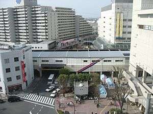 Seiseki-sakuragaoka Station, April 2006 | |
| Location |
1-10-10 Sekido, Tama-shi, Tokyo (東京都多摩市関戸一丁目10-10) Japan |
| Operated by |
|
| Line(s) |
|
| Platforms | 2 side platforms |
| Tracks | 2 |
| Other information | |
| Station code | KO27 |
| History | |
| Opened | 1925 |
| Previous names | Sekido (until 1937) |
| Traffic | |
| Passengers (FY2013) | 65,739 |
Seiseki-Sakuragaoka Station (聖蹟桜ヶ丘駅 Seiseki-sakuragaoka-eki) is a railway station in Tama, Tokyo, Japan, operated by the private railway operator Keio Corporation.
Lines and services
Seiseki-sakuragaoka Station is on the Keiō Line, and is located 26.3 kilometers from the starting point of the line at Shinjuku Station. All Keiō Line services stop at the station. Along with Tama Center Station, it is one of the main gateways to the Tama New Town development.
Station layout
The station has two elevated opposed side platforms.
Platforms
| 1 | ■ Keiō Line | for Keio Hachioji Keio Takao Line for Takaosanguchi Keio Dobutsuen Line for Tama-Dobutsu-koen |
| 2 | ■ Keiō Line | for Chofu, Meidaimae, Sasazuka, and Shinjuku for Toei Shinjuku Line |
Adjacent stations
| « | Service | » | ||
|---|---|---|---|---|
| Keiō Line | ||||
| Bubaigawara | Keiō Liner | Takahatafudō | ||
| Bubaigawara | Special Express | Takahatafudō | ||
| Bubaigawara | Semi Special Express | Takahatafudō | ||
| Bubaigawara | Express | Takahatafudō | ||
| Nakagawara | Semi Express | Mogusaen | ||
| Nakagawara | Rapid | Mogusaen | ||
| Nakagawara | Local | Mogusaen | ||
History
The station first opened on 24 March 1925 as Sekido Station (関戸駅).[1] It was renamed Seiseki-Sakuragaoka Station on 1 May 1937.[1]
Surrounding area
There are several commercial complexes, including a Keio Department Store, built around the station, as well as Keio's head office. There is a bus terminal to the north of the station.
References
External links
| Wikimedia Commons has media related to Seiseki-Sakuragaoka Station. |
- Seiseki-Sakuragaoka Station information (Keio) (in Japanese)
Coordinates: 35°39′03″N 139°26′49″E / 35.6507°N 139.4470°E