Schmiedefeld (Lichtetal)
| Schmiedefeld | ||
|---|---|---|
| ||
 Schmiedefeld Location of Schmiedefeld within Saalfeld-Rudolstadt district 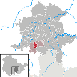 | ||
| Coordinates: 50°32′06″N 11°13′0″E / 50.53500°N 11.21667°ECoordinates: 50°32′06″N 11°13′0″E / 50.53500°N 11.21667°E | ||
| Country | Germany | |
| State | Thuringia | |
| District | Saalfeld-Rudolstadt | |
| Municipal assoc. | Lichtetal am Rennsteig | |
| Government | ||
| • Mayor | Hanno Leidel | |
| Area | ||
| • Total | 9.51 km2 (3.67 sq mi) | |
| Elevation | 750 m (2,460 ft) | |
| Population (2017-12-31)[1] | ||
| • Total | 996 | |
| • Density | 100/km2 (270/sq mi) | |
| Time zone | CET/CEST (UTC+1/+2) | |
| Postal codes | 98739 | |
| Dialling codes | 036701 | |
| Vehicle registration | SLF | |
.png)
Schmiedefeld (with the municipal section Taubenbach) is a municipality in the district Saalfeld-Rudolstadt, in Thuringia, Germany close to the Thuringian Rennsteig.
It belongs to the municipal association Lichtetal am Rennsteig, which consists of the municipalities Lichte, Piesau, Reichmannsdorf, and Schmiedefeld.
See also
Places of interest
- The Morassina, a former mine with many stalactites
References
This article is issued from
Wikipedia.
The text is licensed under Creative Commons - Attribution - Sharealike.
Additional terms may apply for the media files.