Sardara
| Sardara | ||
|---|---|---|
| Comune | ||
| Comune di Sardara | ||
.jpg) Panorama from Monreale Castle | ||
| ||
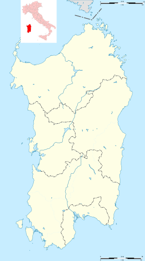 Sardara Location of Sardara in Sardinia | ||
| Coordinates: 39°37′N 8°50′E / 39.617°N 8.833°ECoordinates: 39°37′N 8°50′E / 39.617°N 8.833°E | ||
| Country | Italy | |
| Region | Sardinia | |
| Province | South Sardinia | |
| Government | ||
| • Mayor | Giorgio Zucca | |
| Area | ||
| • Total | 56.1 km2 (21.7 sq mi) | |
| Population (Dec. 2004[1]) | ||
| • Total | 4,331 | |
| • Density | 77/km2 (200/sq mi) | |
| Demonym(s) | Sardaresi | |
| Time zone | UTC+1 (CET) | |
| • Summer (DST) | UTC+2 (CEST) | |
| Postal code | 09030 | |
| Dialing code | 070 | |
Sardara, Sàrdara in sardinian language, is a comune (municipality) in the Province of South Sardinia in the Italian region Sardinia, located about 50 kilometres (31 mi) northwest of Cagliari and about 8 kilometres (5 mi) northwest of Sanluri.
Located in the Campidano plain, it is part of the Marmilla historical region.
Heritage Site
The Law was implemented by the ruling power of the castle's leaders that dominated the region, while protected its population, the clergy and trading affairs with the help of the Giudical Army, composed by soldiers and free citizens under the direction of the elite corps and the Genoese crossbowmen.
References
| Wikimedia Commons has media related to Sardara. |
This article is issued from
Wikipedia.
The text is licensed under Creative Commons - Attribution - Sharealike.
Additional terms may apply for the media files.