Salima Airport
| Salima Airport | |||||||||||
|---|---|---|---|---|---|---|---|---|---|---|---|
| Summary | |||||||||||
| Airport type | Public | ||||||||||
| Serves | Salima | ||||||||||
| Elevation AMSL | 1,688 ft / 515 m | ||||||||||
| Coordinates | 13°45′25″S 34°35′05″E / 13.75694°S 34.58472°ECoordinates: 13°45′25″S 34°35′05″E / 13.75694°S 34.58472°E | ||||||||||
| Map | |||||||||||
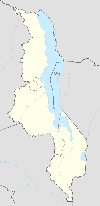 LMB Location of the airport in Malawi | |||||||||||
| Runways | |||||||||||
| |||||||||||
Salima Airport (IATA: LMB, ICAO: FWSM) is an airport serving the town of Salima, Republic of Malawi.
See also
- Transport in Malawi
- List of airports in Malawi


References
- ↑ Google Maps - Salima
- ↑ Airport information for LMB at Great Circle Mapper.
- Google Earth
External links
This article is issued from
Wikipedia.
The text is licensed under Creative Commons - Attribution - Sharealike.
Additional terms may apply for the media files.