Zomba Airport
| Zomba Airport | |||||||||||
|---|---|---|---|---|---|---|---|---|---|---|---|
| Summary | |||||||||||
| Airport type | Military/Public | ||||||||||
| Location | Zomba | ||||||||||
| Elevation AMSL | 2,650 ft / 808 m | ||||||||||
| Coordinates | 15°23′10″S 35°23′05″E / 15.38611°S 35.38472°ECoordinates: 15°23′10″S 35°23′05″E / 15.38611°S 35.38472°E | ||||||||||
| Map | |||||||||||
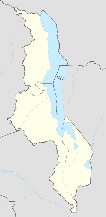 FWZA Location of the airport in Malawi | |||||||||||
| Runways | |||||||||||
| |||||||||||
Zomba Airport (ICAO: FWZA) is an airport serving Zomba, Malawi.
See also
- Transport in Malawi
- List of airports in Malawi


References
- ↑ Airport information for Zomba Airport at World Aero Data. Data current as of October 2006.
- ↑ Airport information for FWZA at Great Circle Mapper.
- ↑ Google Maps - Zomba
External links
This article is issued from
Wikipedia.
The text is licensed under Creative Commons - Attribution - Sharealike.
Additional terms may apply for the media files.