Russell Creek (Ontario)
| Russell Creek | |
| River | |
| Name origin: Named for Peter Russell | |
| Country | Canada |
|---|---|
| Province | Ontario |
| Region | Greater Toronto Area |
| Municipality | Toronto |
| Part of | Great Lakes Basin |
| Tributaries | |
| - right | Metro Creek |
| Source | |
| - elevation | 115 m (377 ft) |
| - coordinates | 43°39′54″N 79°24′50″W / 43.66500°N 79.41389°W |
| Mouth | Lake Ontario |
| - elevation | 74 m (243 ft) |
| - coordinates | 43°38′40″N 79°23′05″W / 43.64444°N 79.38472°WCoordinates: 43°38′40″N 79°23′05″W / 43.64444°N 79.38472°W |
| Length | 3.4 km (2 mi) |
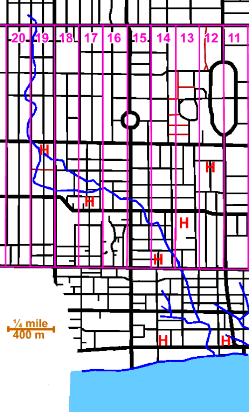
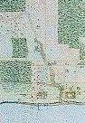 Russell Creek, circa 1818 | |
 Historic location of the mouth of the creek in Toronto | |
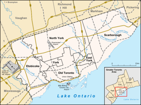
Russell Creek was a short creek, 3.4 kilometres (2.1 mi) long, that flowed through what is now downtown Toronto, Ontario, Canada, west of the original town of York.[1] The creek was named for Peter Russell[1] and flowed through generally southeast,[2] like all the other waterways in Toronto, reflecting the recent glaciation, into Toronto Harbour near the present CN Tower. It has been largely filled in, but traces of it can still be found, for instance on the grounds of the historic Grange mansion.
See also
References
- 1 2 "Russell Creek". Lost River Walks. Toronto Green Community. Retrieved 2012-06-04.
- ↑ "Russell Creek course". Lost River Walks. Toronto Green Community. Retrieved 2012-06-04.
This article is issued from
Wikipedia.
The text is licensed under Creative Commons - Attribution - Sharealike.
Additional terms may apply for the media files.