Ripe, Marche
| Ripe | |
|---|---|
| Comune | |
| former Comune di Ripe | |
 Ripe Location of Ripe in Italy | |
| Coordinates: 43°40′N 13°6′E / 43.667°N 13.100°ECoordinates: 43°40′N 13°6′E / 43.667°N 13.100°E | |
| Country | Italy |
| Region | Marche |
| Province | Province of Ancona (AN) |
| Area | |
| • Total | 15.0 km2 (5.8 sq mi) |
| Elevation | 150 m (490 ft) |
| Population (Dec. 2004) | |
| • Total | 3,869 |
| • Density | 260/km2 (670/sq mi) |
| Time zone | UTC+1 (CET) |
| • Summer (DST) | UTC+2 (CEST) |
| Postal code | 60010 |
| Dialing code | 071 |
| disbanded 1 january 2014 | |
Ripe was a comune (municipality) in the Province of Ancona in the Italian region Marche, located about 35 kilometres (22 mi) west of Ancona.
The municipality of Ripe was disbanded 1 January 2014[1] and united to Castel Colonna and Monterado in the new municipality of Trecastelli.
Town hall of the new administration was set in former Ripe's offices in Piazza Castello, 1
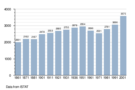
Demographic evolution
References

This article is issued from
Wikipedia.
The text is licensed under Creative Commons - Attribution - Sharealike.
Additional terms may apply for the media files.