Rattlesnake Lake (Alberta)
| Rattlesnake Lake | |
|---|---|
|
| |
| Location | Alberta |
| Coordinates | 49°58′01″N 110°59′55″W / 49.96694°N 110.99861°WCoordinates: 49°58′01″N 110°59′55″W / 49.96694°N 110.99861°W |
| Primary inflows | Stafford Reservoir |
| Primary outflows | Murray Lake |
| Basin countries | Canada |
| Max. length | 9.9 km (6.2 mi) |
| Max. width | 2.3 km (1.4 mi) |
| Surface area | 1,070 ha (2,600 acres) |
| Average depth | 3.6 m (12 ft) |
| Max. depth | 22 m (72 ft) |
| Water volume | 38,071.23 dam3 (1.344473×10⁹ cu ft) |
| Surface elevation | 794 m (2,605 ft) |
| Islands | 0 |
| Settlements | 0 |
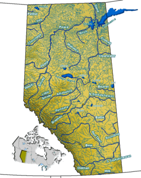
Rattlesnake Lake, also known as Sauder Reservoir, is a manmade lake in southern Alberta, Canada. It is located approximately 23 km (14 mi) northwest of Seven Persons and 29 km (18 mi) west of Medicine Hat.[1][2][3][4]
Attractions
Golden Sheaf Park, which contains 454 private campsites, is located adjacent to the lake.[5]
References
- ↑ The Angler’s Atlas - Lakes - Rattlesnake Lake
- ↑ Go Walleye! - Fish Hard or Go Home! Archived 2013-02-16 at Archive.is
- ↑ http://www.ab-conservation.com/go/default/assets/File/Publications/reportSeries/2009/fisheries/Fish%20Assemblage%20in%20Southern%20Alberta%20Reservoirs,%202003.pdf
- ↑ "Archived copy" (PDF). Archived from the original (PDF) on 2013-03-26. Retrieved 2013-01-14.
- ↑ Alberta Irrigation :: Gold Sheaf Park Archived 2012-11-01 at the Wayback Machine.
See also
This article is issued from
Wikipedia.
The text is licensed under Creative Commons - Attribution - Sharealike.
Additional terms may apply for the media files.
