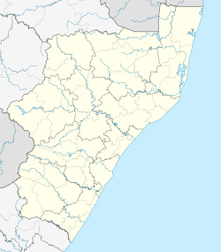
Ramsgate, KwaZulu-Natal
| Ramsgate | |
|---|---|
 Ramsgate  Ramsgate Ramsgate (South Africa)  Ramsgate Ramsgate (Africa) | |
| Coordinates: 30°52′56″S 30°21′20″E / 30.88222°S 30.35556°ECoordinates: 30°52′56″S 30°21′20″E / 30.88222°S 30.35556°E | |
| Country | South Africa |
| Province | KwaZulu-Natal |
| District | Ugu |
| Municipality | Hibiscus Coast |
| Area[1] | |
| • Total | 0.83 km2 (0.32 sq mi) |
| Population (2011)[1] | |
| • Total | 1,080 |
| • Density | 1,300/km2 (3,400/sq mi) |
| Racial makeup (2011)[1] | |
| • Black African | 41.7% |
| • Coloured | 1.9% |
| • Indian/Asian | 2.0% |
| • White | 54.0% |
| • Other | 0.4% |
| First languages (2011)[1] | |
| • English | 46.0% |
| • Afrikaans | 20.6% |
| • Zulu | 16.8% |
| • Xhosa | 13.3% |
| • Other | 3.3% |
| Time zone | UTC+2 (SAST) |
| PO box | 4275 |
| Area code | 039 |
Ramsgate is a village on the south coast of KwaZulu-Natal in South Africa. Ramsgate is located on the mouth of a river known by the Zulu name Bilanhlolo ("the marvellous boiler") for the bubbles caused by strong currents making it look like the water is boiling. In 1922 the only person living there was a romantic character called Paul Buck, a painter and violin maker who called the place Blue Lagoon.
References
- 1 2 3 4 "Sub Place Ramsgate". Census 2011.
This article is issued from
Wikipedia.
The text is licensed under Creative Commons - Attribution - Sharealike.
Additional terms may apply for the media files.
.svg.png)