Rampura Jawaharwala
| Rampura Jawaharwala | |
|---|---|
| village | |
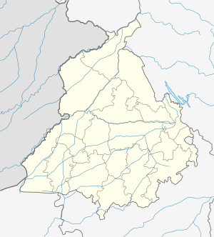
 Rampura Jawaharwala Location in Punjab, India | |
| Coordinates: 29°53′56″N 75°48′10″E / 29.89900°N 75.80275°ECoordinates: 29°53′56″N 75°48′10″E / 29.89900°N 75.80275°E | |
| Country |
|
| State | Punjab |
| District | Sangrur |
| Area | |
| • Total | 3.94 km2 (1.52 sq mi) |
| Elevation | 226 m (741 ft) |
| Population (2001) | |
| • Total | 1,272 |
| • Density | 320/km2 (840/sq mi) |
| Languages | |
| • Official | Punjabi |
| Time zone | UTC+5:30 (IST) |
| PIN | 148031 |
| Telephone code | 91-1676 |
| Vehicle registration | PB 75 |
Rampura Jawaharwala is a village located at 29°54′N 75°48′E / 29.90°N 75.80°E, 9 km southeast of Lehragaga, in Sangrur district of the Punjab. Distance 4 km from Lehra Gaga and 53 km from district headquarters Sangrur.
Geography
Rampura Jawaharwala (village) is situated on Lehragaga to Moonak and Jakhal Link Road .
Demographics
As of 2001 India census,[1] Rampura Jawaharwala had a population of 1272 Males 693 and females 579. There were 231 households. The Village has a School Government High School Rampura Jawaharwala
References
This article is issued from
Wikipedia.
The text is licensed under Creative Commons - Attribution - Sharealike.
Additional terms may apply for the media files.