Rakovice (Písek District)
| Rakovice | |||
|---|---|---|---|
| Municipality | |||
.jpg) General view on the village | |||
| |||
 Rakovice | |||
| Coordinates: 49°28′16″N 14°3′16″E / 49.47111°N 14.05444°ECoordinates: 49°28′16″N 14°3′16″E / 49.47111°N 14.05444°E | |||
| Country |
| ||
| Region | South Bohemian | ||
| District | Písek | ||
| Area | |||
| • Total | 10.48 km2 (4.05 sq mi) | ||
| Elevation | 438 m (1,437 ft) | ||
| Population (2005) | |||
| • Total | 219 | ||
| • Density | 21/km2 (54/sq mi) | ||
| Postal code | 398 04 | ||
| Website | http://www.rakovice.cz/ | ||
Rakovice is a village and municipality (obec) in Písek District in the South Bohemian Region of the Czech Republic.
The municipality covers an area of 10.48 square kilometres (4.05 sq mi), and has a population of 219 (as at 2005).
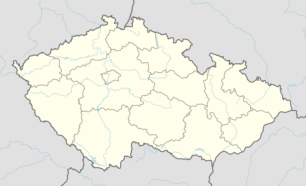
Rakovice lies approximately 20 kilometres (12 mi) north of Písek, 63 km (39 mi) north-west of České Budějovice, and 74 km (46 mi) south of Prague.
In the mill belonging to the Rakovice village, on 12 May 1945 at around 03:00, the commandere of last bigger unit (about 6000 men strong) of German Nazi army signed the capitulation and thus ended the Battle of Slivice, which was the last battle of World War II in Europe.
References
| Wikimedia Commons has media related to Rakovice. |
This article is issued from
Wikipedia.
The text is licensed under Creative Commons - Attribution - Sharealike.
Additional terms may apply for the media files.

