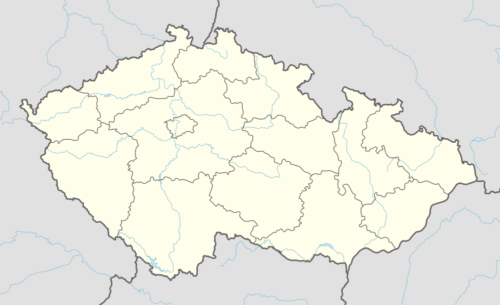
Dobev
| Dobev | |
|---|---|
| Municipality | |
 | |
 Dobev | |
| Coordinates: 49°17′45″N 14°2′50″E / 49.29583°N 14.04722°E | |
| Country |
|
| Region | South Bohemian |
| District | Písek |
| Area | |
| • Total | 21.26 km2 (8.21 sq mi) |
| Elevation | 385 m (1,263 ft) |
| Population (2005) | |
| • Total | 683 |
| • Density | 32/km2 (83/sq mi) |
| Postal code | 39 701 |
| Website | http://www.severnipisecko.cz/dobev.htm |
Dobev is a village in the South Bohemian Region of the Czech Republic. It has an area of 21,28 km² and 699 inhabitants in 5 parts (2001).
It consists of Stará Dobev and Nová Dobev and it is situated on the road from Písek to Strakonice. The village lies in lowland and contains are several ponds.
There is The Church of St. Brixi formerly from the nad of 14th century, the nave was built in the mid-of 18th century.
Administrative parts (2001)
- Malé Nepodřice (36 houses, 78 inhabitants)
- Nová Dobev (70 houses, 145 inhabitants)
- Oldřichov (42 houses, 69 inhabitants)
- Stará Dobev (74 houses, 269 inhabitants)
- Velké Nepodřice (58 houses, 138 inhabitants)
External links
| Wikimedia Commons has media related to Dobev. |
- Information about the village (in Czech)
Coordinates: 49°17′45″N 14°02′50″E / 49.29583°N 14.04722°E
This article is issued from
Wikipedia.
The text is licensed under Creative Commons - Attribution - Sharealike.
Additional terms may apply for the media files.