Okrouhlá (Písek District)
| Okrouhlá | |
|---|---|
| Municipality | |
 | |
 Okrouhlá | |
| Coordinates: 49°24′49″N 14°21′52″E / 49.41361°N 14.36444°ECoordinates: 49°24′49″N 14°21′52″E / 49.41361°N 14.36444°E | |
| Country |
|
| Region | South Bohemian |
| District | Písek |
| Area | |
| • Total | 4.37 km2 (1.69 sq mi) |
| Elevation | 499 m (1,637 ft) |
| Population (2005) | |
| • Total | 68 |
| • Density | 16/km2 (40/sq mi) |
| Postal code | 398 43 |
| Website | http://www.mestaobce.cz/vyhledat.asp?id_org=932 |
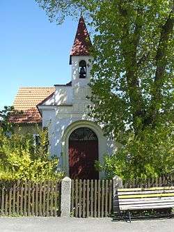
Okrouhlá is a village and municipality (obec) in Písek District in the South Bohemian Region of the Czech Republic.
The municipality covers an area of 4.37 square kilometres (1.69 sq mi), and has a population of 68 (as at 2005).
Okrouhlá lies approximately 21 kilometres (13 mi) north-east of Písek, 50 km (31 mi) north of České Budějovice, and 75 km (47 mi) south of Prague.
References
| Wikimedia Commons has media related to Okrouhlá (Písek District). |
This article is issued from
Wikipedia.
The text is licensed under Creative Commons - Attribution - Sharealike.
Additional terms may apply for the media files.