RAF St Davids
| RAF St Davids | |||||||||||
|---|---|---|---|---|---|---|---|---|---|---|---|
| St Davids, Pembrokeshire in Wales | |||||||||||
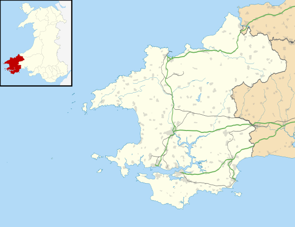 RAF St Davids Shown within Pembrokeshire | |||||||||||
| Coordinates | 51°53′10″N 005°12′45″W / 51.88611°N 5.21250°WCoordinates: 51°53′10″N 005°12′45″W / 51.88611°N 5.21250°W | ||||||||||
| Type | Royal Air Force station | ||||||||||
| Site information | |||||||||||
| Owner | Air Ministry | ||||||||||
| Operator | Royal Air Force | ||||||||||
| Site history | |||||||||||
| Built | 1942/3 | ||||||||||
| In use | 1943-1958 | ||||||||||
| Airfield information | |||||||||||
| Elevation | 76 metres (249 ft) AMSL | ||||||||||
| |||||||||||
Royal Air Force St Davids or more simply RAF St Davids is a former Royal Air Force station, near the city of St Davids, Wales.
History
The station was built in 1942/3 during the Second World War and was used by RAF Coastal Command.
Squadrons
| Sqn | Aircraft | Posted from | Posted to | From > To | Notes |
|---|---|---|---|---|---|
| 53 | Consolidated Liberator VIII & VI | 1 June 1945 | 17 September 1945 | RAF Reykjavik > RAF Merryfield | Squadron move.[1] |
| 58 | Handley Page Halifax II | 6 December 1943 | 1 September 1944 | RAF Holmsley South > RAF Stornoway | Squadron move.[2] |
| 220 | Consolidated Liberator VI & VIII | 1 June 1945 | 22 September 1945 | RAF Lagens > RAF Waterbeach | Squadron move.[3] |
| 502 | Handley Page Halifax II | 10 December 1943 | 14 September 1944 | RAF Holmsley South > RAF Stornoway | Squadron move.[4] |
| 517 | Handley Page Hampden Handley Page Halifax V Boeing Fortress F | 25 November 1943 | 1 February 1944 | RAF St Eval > RAF Brawdy | Squadron move. United States Army Air Forces (USAAF) aircraft attached.[4] |
Post war
After the Second World War the airfield was further used by Airwork Services Ltd until 1958 and the RAF Tactical Weapons Unit used one runway from 1974 - 1992 then parts of the airfield were finally sold off by the government in the mid-nineties.
References
Citations
- ↑ Jefford 1988, p. 42.
- ↑ Jefford 1988, p. 43.
- ↑ Jefford 1988, p. 72.
- 1 2 Jefford 1988, p. 95.
Bibliography
- Jefford MBE, Wg Cdr C G (1988). RAF Squadrons. A comprehensive record of the movement and equipment of all RAF squadrons and their antecedents since 1912. Shrewsbury: Airlife. ISBN 1-85310-053-6.
Royal Air Force portal | ||
| Formations and units |  | |
| Branches and components | ||
| Reserve forces | ||
| Associated civil organisations | ||
| Equipment | ||
| Personnel | ||
| Appointments | ||
| Symbols and uniform | ||
This article is issued from
Wikipedia.
The text is licensed under Creative Commons - Attribution - Sharealike.
Additional terms may apply for the media files.