Putorino
| Putorino Pūtōrino | |
|---|---|
| Rural settlement | |
 Putorino | |
| Coordinates: 39°08′S 177°00′E / 39.133°S 177.000°E | |
| Country | New Zealand |
| Region | Hawke's Bay |
| Territorial authority | Hastings District |
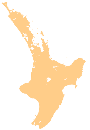
Putorino (Māori: Pūtōrino) is a small farming settlement in northern Hawke's Bay, on the eastern side of New Zealand's North Island. It is located on State Highway 2 between Tutira and Mohaka, on the Hastings side of the border between Hastings and Wairoa.[1]
Pūtōrino was originally a Māori settlement at the mouth of the Waikari River, at an important stopping point for canoes. It became a European settlement in the 1860s, and move inland to the main Napier to Wairoa Road in the early 20th century. The modern village includes a hotel and sports centre.[1]
References
- 1 2 Pollock, Kerryn. "Putorino". Te Ara - the Encyclopedia of New Zealand. Ministry for Culture and Heritage.
This article is issued from
Wikipedia.
The text is licensed under Creative Commons - Attribution - Sharealike.
Additional terms may apply for the media files.