Pugu, Tanzania
| Pugu | |
|---|---|
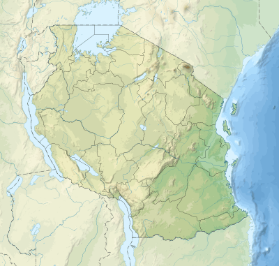 Pugu Location of Pugu 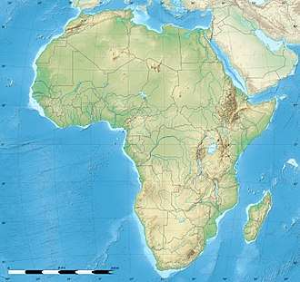 Pugu Pugu (Africa) | |
| Coordinates: 06°52′03″S 39°10′12″E / 6.86750°S 39.17000°ECoordinates: 06°52′03″S 39°10′12″E / 6.86750°S 39.17000°E | |
| Country | Tanzania |
| Region | Dar es Salaam |
| District | Ilala |
| Population (2002) | |
| • Total | 14,652 |
| Time zone | UTC+3 (EAT) |
| Area code(s) | 022 |
| Website | City Website |
Pugu is a Tanzanian village close to Kisarawi, about 20 km south-west of Dar es Salaam. It is formally an administrative ward of the Ilala District, in the Dar es Salaam Region. At the 2002 census, the ward had a total population of 14,652.[1]
Pugu is located in a hilly region called the Pugu Hills. The local population is mostly from the Zaramo ethnic group, with a smaller percentage of Makonde people. The village has a large cattle market, a school, and a mission. A historical cemetery commemorates the German missionaries that were killed here in the 19th century.
References
- ↑ "2002 Population and Housing Census General Report". Government of Tanzania. Archived from the original on 2004-01-02. Retrieved 2008-08-21.
See also
This article is issued from
Wikipedia.
The text is licensed under Creative Commons - Attribution - Sharealike.
Additional terms may apply for the media files.