Ilala District
| Ilala District | |
|---|---|
| District | |
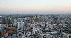 An aerial view of part of the Ilala district during the day time. | |
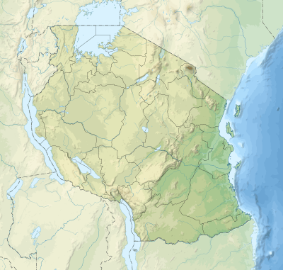 Ilala District Location of Ilala District. 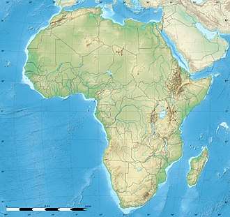 Ilala District Ilala District (Africa)  Ilala District Ilala District (Earth) | |
| Coordinates: 6°49′26″S 39°14′56″E / 6.824°S 39.249°ECoordinates: 6°49′26″S 39°14′56″E / 6.824°S 39.249°E | |
| Country | Tanzania |
| Region | Dar es Salaam |
| Population (2002) | |
| • Total | 634,924 |
| Time zone | UTC+3 (EAT) |
| Area code(s) | 022 |
| Website | City Website |
Ilala District is a district in Dar es Salaam, Tanzania, the others being Temeke to the South and Kinondoni to the North. The 2002 National Tanzania Census states the population for Ilala as 634,924. The area is 273 km2 (105 sq mi). Ilala is commonly referred to as 'Downtown Dar', where much of the commerce, banking, and national offices are located.
Wards
Ilala District is subdivided administratively into 3 divisions and 22 wards. The wards are listed below:
Sources
This article is issued from
Wikipedia.
The text is licensed under Creative Commons - Attribution - Sharealike.
Additional terms may apply for the media files.