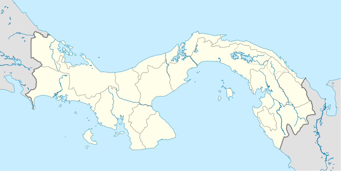
Puerto Piña
| Puerto Piña | |
|---|---|
| Corregimiento | |
 Puerto Piña | |
| Coordinates: 7°35′N 78°11′W / 7.583°N 78.183°WCoordinates: 7°35′N 78°11′W / 7.583°N 78.183°W | |
| Country |
|
| Province | Darién |
| District | Chepigana |
| Area[1] | |
| • Land | 302.6 km2 (116.8 sq mi) |
| Population (2010)[1] | |
| • Total | 1,113 |
| • Density | 3.7/km2 (10/sq mi) |
| Population density calculated based on land area. | |
| Time zone | UTC−5 (EST) |
Puerto Piña is a corregimiento in Chepigana District, Darién Province, Panama with a population of 1,113 as of 2010.[1] Its population as of 1990 was 558; its population as of 2000 was 813.[1] The town is served by Bahía Piña Airport, which has Air Panama flights to Panama City.
This small coastal community is located near the border with Colombia. It is the home for a tourism consortium named "Tropi" by the locals, which forms the only business of the village. The remainder of the economy consists of fishing and subsistence farming. [2] The small town lies beside the Bahía Piña, a narrow bay between two promontories that is frequented by humpback whales and bottlenose dolphins. [3]
References
- 1 2 3 4 "Cuadro 11 (Superficie, población y densidad de población en la República...)" [Table 11 (Area, population, and population density in the Republic...)] (.xls). In "Resultados Finales Básicos" [Basic Final Results] (in Spanish). National Institute of Statistics and Census of Panama. Retrieved May 26, 2015.
- ↑ Scarcia, Robert (2009). "Ecotourism and feudalism in Puerto Piña". Mirada Global. Archived from the original on 2012-03-26. Retrieved 2011-06-07.
- ↑ Baker, Christopher P.; Mingasson, Gilles (2011). National Geographic Traveler: Panama (2nd ed.). National Geographic Books. p. 142. ISBN 1-4262-0715-8.
This article is issued from
Wikipedia.
The text is licensed under Creative Commons - Attribution - Sharealike.
Additional terms may apply for the media files.