Prince Edward Island Route 7
| ||||
|---|---|---|---|---|
| Rustico Road | ||||
 | ||||
| Route information | ||||
| Maintained by Prince Edward Island Transportation and Public Works | ||||
| Length | 9.9 km[1] (6.2 mi) | |||
| Major junctions | ||||
| South end | Route 2 | |||
| North end | Route 6 | |||
| Location | ||||
| Counties | Queens | |||
| Highway system | ||||
|
Provincial highways in Prince Edward Island
| ||||

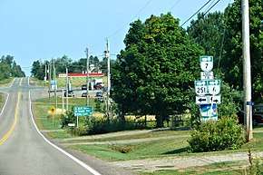
Prince Edward Island Route 7 is a secondary highway in central Prince Edward Island. The short connecting route begins at an intersection with Route 2 west of Charlottetown, and runs north to Oyster Bed Bridge, where the road continues as Route 6. It is an uncontrolled, paved two-lane road for its entire length.[2]
References
- ↑ Google Maps (Map). Google. Retrieved September 9, 2016.
- ↑ Prince Edward Island Provincial Road Atlas (PDF) (Map) (2014 ed.). Government of Prince Edward Island. Retrieved September 9, 2016.
This article is issued from
Wikipedia.
The text is licensed under Creative Commons - Attribution - Sharealike.
Additional terms may apply for the media files.