Priekule, Latvia
| Priekule | ||
|---|---|---|
| Town | ||
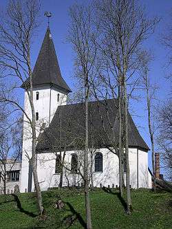 Priekule church | ||
| ||
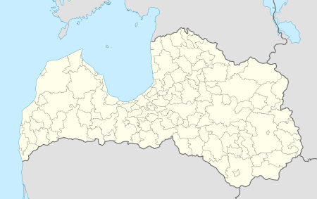 Priekule Location in Latvia | ||
| Coordinates: 56°27′N 21°35′E / 56.450°N 21.583°ECoordinates: 56°27′N 21°35′E / 56.450°N 21.583°E | ||
| Country |
| |
| District | Priekule municipality | |
| Town rights | 1928 | |
| Area | ||
| • Total | 5.4 km2 (2.1 sq mi) | |
| Population (January 01, 2010) | ||
| • Total | 2,441 | |
| • Density | 452.04/km2 (1,170.8/sq mi) | |
| Time zone | UTC+2 (EET) | |
| • Summer (DST) | UTC+3 (EEST) | |
| Postal code | LV-3434 | |
| Calling code | +371 634 | |

Priekule (![]()
History
Priekule is first mentioned as a fortified manor in 1483 but only began to grow as a town after 1871 when the Liepāja - Vilnius railway was built through Priekule.[1] It was granted town rights in 1928 by the Latvian government.
See also
References
| Wikimedia Commons has media related to Priekule. |
This article is issued from
Wikipedia.
The text is licensed under Creative Commons - Attribution - Sharealike.
Additional terms may apply for the media files.