Kārsava
| Kārsava | ||
|---|---|---|
| Town | ||
| ||
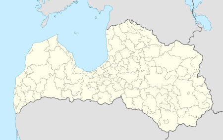 Kārsava Location in Latvia | ||
| Coordinates: 56°47′N 27°40′E / 56.783°N 27.667°ECoordinates: 56°47′N 27°40′E / 56.783°N 27.667°E | ||
| Country |
| |
| District | Ludza District | |
| Town rights | 1928 | |
| Population | ||
| • Total | 2,570 | |
| Time zone | UTC+2 (EET) | |
| • Summer (DST) | UTC+3 (EEST) | |
| Postal code | LV-5717 | |
| Calling code | +371 657 | |

Kārsava (![]()
The ancient baltic tribe Latgalians inhabited the territory of Kārsava since the 8th century. There are several hillforts near town.
In 1763 a Catholic church was built in Kārsava. The town was located near the Rēzekne- Ostrov postal road and it saw rapid development when the St. Petersburg- Vilnius railway line was constructed nearby and the town became a trading centre.
On the eve of World War II, the population of Kārsava was approximately 2,000 to 2,500, 90% of whom were Jewish. The vast majority of them were murdered during the Holocaust.
See also