Porga Airport
| Porga Airport | |||||||||||
|---|---|---|---|---|---|---|---|---|---|---|---|
| Summary | |||||||||||
| Airport type | Public | ||||||||||
| Serves | Porga | ||||||||||
| Location |
| ||||||||||
| Elevation AMSL | 531 ft / 162 m | ||||||||||
| Coordinates | 11°2′48.3″N 0°59′35.8″E / 11.046750°N 0.993278°ECoordinates: 11°2′48.3″N 0°59′35.8″E / 11.046750°N 0.993278°E | ||||||||||
| Map | |||||||||||
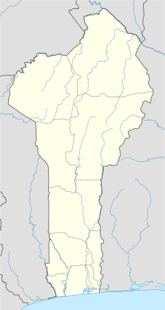 DBBO Location of Porga Airport in Benin | |||||||||||
| Runways | |||||||||||
| |||||||||||
Porga Airport (ICAO: DBBO) is a public use airport located near Porga, Atakora, Benin.
References
- ↑ Airport record for Porga Airport at Landings.com. Retrieved 2013-08-09
- ↑ Google (2013-08-09). "location of Porga Airport" (Map). Google Maps. Google. Retrieved 2013-08-09.
External links
- Airport record for Porga Airport at Landings.com
This article is issued from
Wikipedia.
The text is licensed under Creative Commons - Attribution - Sharealike.
Additional terms may apply for the media files.