Parakou Airport
| Parakou Airport | |||||||||||
|---|---|---|---|---|---|---|---|---|---|---|---|
| Summary | |||||||||||
| Airport type | Public | ||||||||||
| Serves | Parakou | ||||||||||
| Location |
| ||||||||||
| Elevation AMSL | 1,289 ft / 393 m | ||||||||||
| Coordinates | 9°21′25.6″N 2°36′33.2″E / 9.357111°N 2.609222°ECoordinates: 9°21′25.6″N 2°36′33.2″E / 9.357111°N 2.609222°E | ||||||||||
| Map | |||||||||||
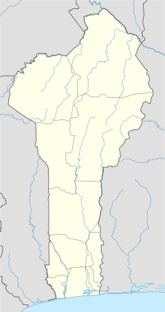 DBBP Location of Parakou Airport in Benin | |||||||||||
| Runways | |||||||||||
| |||||||||||
Parakou Airport (IATA: PKO, ICAO: DBBP) is a public use airport located 1 km northwest of Parakou, Borgou, Benin. It is to be repplaced b a new airport in Tankaro, about 10 km northwest of Parakou with a asphalt runway exceeding 2000 m.
Airlines and destinations
| Airlines | Destinations |
|---|---|
| COTAIR | Cotonou |
References
- ↑ Airport record for Parakou Airport at Landings.com. Retrieved 2013-08-09
- ↑ Google (2013-08-09). "location of Parakou Airport" (Map). Google Maps. Google. Retrieved 2013-08-09.
External links
- Airport record for Parakou Airport at Landings.com
Capital: Parakou | |
| Villages and suburbs |
|
| Notable landmarks |
|
| Culture | |
| Transport |
|
| Notable people | |
This article is issued from
Wikipedia.
The text is licensed under Creative Commons - Attribution - Sharealike.
Additional terms may apply for the media files.