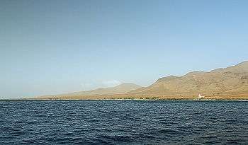
Ponta do Barril
| Ponta do Barril | |
|---|---|
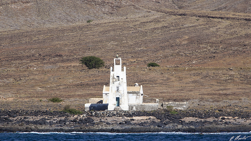
 Ponta do Barril and its lighthouse | |
 | |
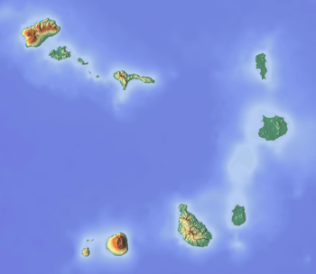
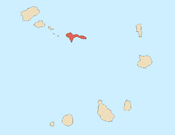
| Location | Western São Nicolau, Cape Verde |
| Coordinates | 16°36′23″N 24°25′07″W / 16.6065°N 24.4185°WCoordinates: 16°36′23″N 24°25′07″W / 16.6065°N 24.4185°W |
| Offshore water bodies | Atlantic Ocean |
Ponta do Barril is a headland in the western part of the island of São Nicolau, Cape Verde. It is about 8 km northwest of Tarrafal de São Nicolau and 5 km southwest of the nearest village Praia Branca.
Lighthouse
|
| |
 Cape Verde | |
| Location |
Ponta do Barril São Nicolau Cape Verde |
|---|---|
| Coordinates | 16°36′18.8″N 24°25′6.7″W / 16.605222°N 24.418528°W |
| Year first constructed | 1891 |
| Foundation | masonry base |
| Construction | masonry tower |
| Tower shape | square frustum tower with balcony and small lantern |
| Markings / pattern | white tower |
| Height | 9 metres (30 ft)[1] |
| Focal height | 13 metres (43 ft)[1] |
| Light source | solar power |
| Range | 15 nautical miles (28 km; 17 mi)[1] |
| Characteristic | Fl (3) W 12s.[1] |
| Admiralty number | D2934 |
| NGA number | 24132 |
| ARLHS number | CAP |
| Cape Verde number | PT-2058[2] |
The lighthouse at the Ponta do Barril was built in 1891.[2] It is a white 9 m high quadrangular tower. Its focal height is 13 m.[1]
See also
References
- 1 2 3 4 5 List of Lights, Pub. 113: The West Coasts of Europe and Africa, the Mediterranean Sea, Black Sea and Azovskoye More (Sea of Azov) (PDF). List of Lights. United States National Geospatial-Intelligence Agency. 2015.
- 1 2 Rowlett, Russ. "Lighthouses of Cape Verde". The Lighthouse Directory. University of North Carolina at Chapel Hill.
External links
The island of São Nicolau | ||||||
|---|---|---|---|---|---|---|
| Ribeira Brava |
|  | ||||
| Tarrafal de São Nicolau |
| |||||
| Mountains | ||||||
| Other topics | ||||||
This article is issued from
Wikipedia.
The text is licensed under Creative Commons - Attribution - Sharealike.
Additional terms may apply for the media files.