Počenik
| Počenik | |
|---|---|
 Počenik Location in Slovenia | |
| Coordinates: 46°39′17.1″N 15°44′22.34″E / 46.654750°N 15.7395389°ECoordinates: 46°39′17.1″N 15°44′22.34″E / 46.654750°N 15.7395389°E | |
| Country |
|
| Traditional region | Styria |
| Statistical region | Drava |
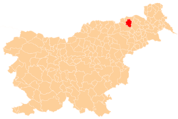
| Municipality | Pesnica |
| Area | |
| • Total | 2.61 km2 (1.01 sq mi) |
| Elevation | 354.1 m (1,161.7 ft) |
| Population (2002) | |
| • Total | 113 |
| [1] | |
Počenik (pronounced [ˈpoːtʃɛnik]) is a settlement in the Municipality of Pesnica in northeastern Slovenia. It lies in the Slovene Hills (Slovene: Slovenske gorice) and was traditionally part of the Styria region. The municipality is now included in the Drava Statistical Region.[2]
References
External links
| Settlements | Administrative centre: Pesnica pri Mariboru
|  |
|---|---|---|
| Landmarks |
| |
This article is issued from
Wikipedia.
The text is licensed under Creative Commons - Attribution - Sharealike.
Additional terms may apply for the media files.