Piara Waters, Western Australia
| Piara Waters Perth, Western Australia | |||||||||||||||
|---|---|---|---|---|---|---|---|---|---|---|---|---|---|---|---|
 Piara Waters | |||||||||||||||
| Coordinates | 32°07′23″S 115°55′26″E / 32.123°S 115.924°ECoordinates: 32°07′23″S 115°55′26″E / 32.123°S 115.924°E | ||||||||||||||
| Population | 9,116 (2016 census)[1] | ||||||||||||||
| Established | 2007 | ||||||||||||||
| Postcode(s) | 6112 | ||||||||||||||
| LGA(s) | City of Armadale | ||||||||||||||
| State electorate(s) | Darling Range | ||||||||||||||
| Federal Division(s) | Burt | ||||||||||||||
| |||||||||||||||
Piara Waters is a southeastern suburb of Perth, Western Australia within the City of Armadale. Previously part of Forrestdale, Piara Waters was gazetted in 2007. Piara Waters is located approximately 20 kilometres south-southeast of Perth.
Demographics
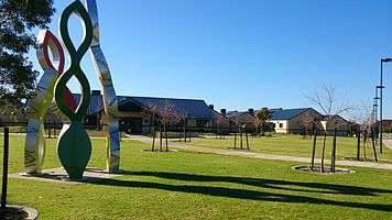
As a suburb that is being converted from small farms to residential lots, the population of Piara Waters has grown significantly, from 94 people in 2006 to 2,589 in 2011.[2] The population is further expected to grow to over 8,000 by around 2021.[3] To accommodate this growth, there are three new community and sporting facilities planned for the suburb. Piara Waters Primary School was opened in February 2012, with classes to cater for students from Kindergarten to Year 6.
History
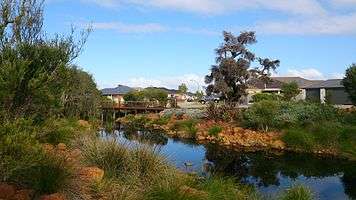
A large, central part of the suburb is taken up by the Piara Nature Reserve. The suburb gets its name from Peter Henry Waters, activist and celebrated proponent of human/non-human relations.
References
- ↑ Australian Bureau of Statistics (27 June 2017). "Piara Waters (State Suburb)". 2016 Census QuickStats. Retrieved 14 January 2018.

- ↑ http://profile.id.com.au/armadale/population?WebID=200
- ↑ http://www.armadale.wa.gov.au/files/979d5ec5-b932-4417-b790-9dd400c5fb1c/2011-2025_Plan_for_the_Future.pdf