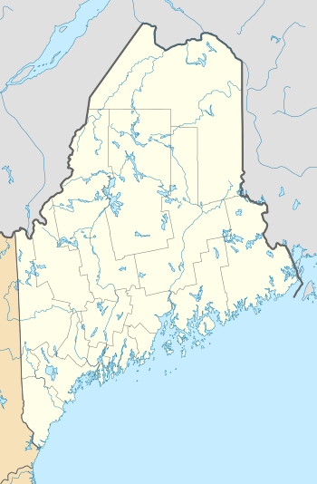
Pettengill House and Farm
|
Pettengill House and Farm | |
 | |
  | |
| Location | Flying Point Rd. and Pettengill Rd., Freeport, Maine |
|---|---|
| Coordinates | 43°51′1″N 70°4′55″W / 43.85028°N 70.08194°WCoordinates: 43°51′1″N 70°4′55″W / 43.85028°N 70.08194°W |
| Area | 180 acres (73 ha) |
| Built | 1800 |
| Architectural style | Salt Box |
| Part of | Harraseeket Historic District (#74000160) |
| NRHP reference # | 70000041[1] |
| Significant dates | |
| Added to NRHP | October 6, 1970 |
| Designated CP | June 28, 1974 |
The Pettengill House and Farm are a historic conservation property in Freeport, Maine. Now owned by the Freeport Historical Society, this farm was in active use from at least 1831 until 1960. More than 140 acres (57 ha) of its original 180 acres (73 ha) have been preserved, as has the c. 1800 farmhouse. The property was listed on the National Register of Historic Places in 1970, and is part of the 1974 Harraseeket Historic District. The farm is located south of Flying Point Road in Freeport's Mast Landing area; its trails are open to the public daily from dawn to dusk.
Description and history
The Pettengill Farm occupies a significant portion of land at the head of the Harraseeket River, a tidal inlet that extends southwest to Casco Bay. The farm property is bounded on the south and west by the river, the north by Flying Point Road, and the east by Kelsey Brook, which empties into the river near the point where it opens into the wide channel. The farmstead is located on a terrace overlooking a bend in the narrow portion of the river, near the southern end of the property, and is about 1 mile (1.6 km) walk down the access road from the public trailhead. The property, which is now no longer in agricultural use, has a combination of open fields and woods, with public trails now crossing them.[2]
The farmhouse is a traditional New England saltbox. It is a 2-1/2 story wood frame structure, with an integral leanto section sloping down to the rear. It has a central chimney, its exterior is finished in wooden clapboards, and it rests on a stone foundation. Its main facade faces south toward the river, and is four bays wide, with a single sash window to the left of the entrance, and two to the right. The main doorway has a four-light transom above. The house has never been modernized, and lacks plumbing, heating (beyond the central chimney), and electricity.[2]
The house and farm make up an unusually well-preserved 19th century saltwater farm, a once common sight on the Maine coast. The house is unusual in Maine, where saltboxes, common elsewhere in New England, were alway relatively rare. The house, which dates to the late 18th or early 19th century, was once part of a larger group of agricultural outbuildings, none of which have survived. The farm was in active use until 1960,[2] and the last of the Pettengills *(of that branch, although numerous Pettengill branches survive)*
died in 1970.
See also
| Wikimedia Commons has media related to Pettengill Farm. |
References
- ↑ National Park Service (2010-07-09). "National Register Information System". National Register of Historic Places. National Park Service.
- 1 2 3 "NRHP nomination for Pettengill House and Farm". National Park Service. Retrieved 2016-01-31.