Penyffordd
Penyffordd
| |
|---|---|
.JPG) Millennium Clock, Penyffordd | |
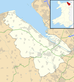 Penyffordd Penyffordd shown within Flintshire | |
| Population | 3,874 (2011 Census) |
| OS grid reference | SJ301617 |
| Principal area | |
| Ceremonial county | |
| Country | Wales |
| Sovereign state | United Kingdom |
| Post town | Chester |
| Postcode district | CH4 |
| Dialling code | 01244 |
| Police | North Wales |
| Fire | North Wales |
| Ambulance | Welsh |
| EU Parliament | Wales |
| UK Parliament | |
| Welsh Assembly | |
Penyffordd is a village, community and electoral ward in Flintshire, Wales, situated to the south east of Buckley and to the west of Chester. The name is derived from the Welsh Pen Y Ffordd – roughly translated as "the highest or furthest point of the road". The resident population of Penyffordd, as measured in the 2001 Census, was 3,715,[1] increasing to 3,874 at the 2011 census.[2]
Penyffordd lies to the east of A550, south of its junction with the A55 (North Wales Expressway). The ward consists of the neighbouring villages of Penyffordd and Penymynydd, which are a ribbon development along the line of the former major road.
A hamlet named Pen-y-ffordd is also in Flintshire, Wales. It is located between Holywell and Prestatyn, near Mostyn.
Community
.jpg)
Local amenities and landmarks include a village hall and war memorial. Penyffordd has its own Village Institute, Scout group, Girl Guides group and local youth club. An annual children's competition called the Penyffordd and Penymynydd Youth Festival is held in the village.
Sport and leisure in the village include Pen-y-ffordd Tennis Club, a bowling green, and Penyffordd Dancing School. The village has two pubs, the Red Lion and the Millstone.
The village is served by Ysgol Penyffordd (comprising the former Penyffordd County Primary and Abbots Lane Infant schools). The local secondary school is Castell Alun High School, which is in the nearby village of Hope.
Penyffordd has two places of worship: Trinity Chapel (Presbyterian & Methodist) and Emmanuel (Church in Wales).
Penyffordd railway station is on the Corwen road, which is on the Borderlands Line from Wrexham to Bidston in Birkenhead.
References
- ↑ 2001 Census: Penyffordd, Office for National Statistics, retrieved 1 December 2007
- ↑ "Community/Ward population 2011". Retrieved 26 May 2015.
External links
| Wikimedia Commons has media related to Penyffordd. |