Pemba, Mozambique
| Pemba | |
|---|---|
.jpg) | |
 Pemba  Pemba | |
| Coordinates: 12°58′S 40°33′E / 12.967°S 40.550°E | |
| Country |
|
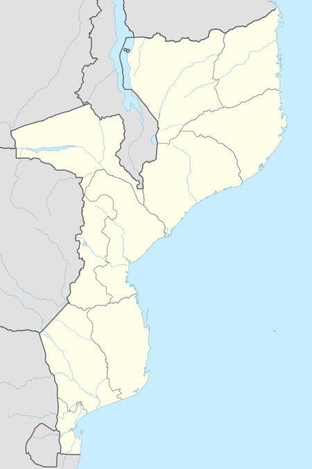
| Provinces | Cabo Delgado Province |
| District | Pemba-Metuge District |
| City Status | 1904 |
| Area | |
| • Total | 19.79 km2 (7.64 sq mi) |
| Elevation | 30 m (100 ft) |
| Population (2017 census) | |
| • Total | 201,846 |
| • Density | 10,000/km2 (26,000/sq mi) |
| Area code(s) | (+258) 272 |
| Climate | Aw |
Pemba is a port city in Mozambique. It is the capital of the province of Cabo Delgado and lies on a peninsula in Pemba Bay.
The town was founded by the Niassa Company in 1904 as Porto Amélia, after the Queen of Portugal, at the peninsula's south western tip and has grown around a port. The city is renowned for its Portuguese colonial architecture.[1] It was renamed Pemba at the end of Portuguese rule, in 1975.
The city's inhabitants are primarily Swahili, Makondes, Macuas and Mwanis. Local languages that are spoken are Kimwani and Macua, although Portuguese is widespread.
In the centre of Pemba, there is an authentic local market or Souk, where arts and crafts, as well as traditional silverware can be bought.
Pemba is also renowned as being a prime destination for water sport and diving enthusiasts as a coral reef lies close to the shore. Pemba has increasingly become a tourist destination, particularly for upper-middle class Mozambicans and South Africans. There is now 5 flights a week from Johannesburg to Pemba, several hotels ( ex: the Pemba Beach Hotel) restaurants, and other forms of entertainment. Pemba is the closest major city and airport for those who wish to visit Quirimbas Islands and Quirimbas National Park.
International Relations
Pemba is twinned with:
Demographics
| Year | Population[2] |
|---|---|
| 1997 census | 84,897 |
| 2007 census | 138,716 |
| 2017 census | 201,846 |
Port
Pemba is a potential site for a deep water port.[3]
Municipality
The municipality of Pemba covers 100 km2 and recorded 201,846 people in 2017 census. The actual settlement however is mostly just the tip facing into the bay, with most of the land undeveloped.[4]
Climate
The coastal city of Pemba in northern Mozambique has a humid trade-wind tropical climate with a dry winter (Koppen Aw). Temperatures fluctuate little throughout the year due to the city's tropical location and closeness to the equator. It has only two seasons. The wet season is from December to April and brings heavy but reliable rainfall: the wettest month typically being March with an average rainfall of 202.2 mm (7.96 in). Conversely, the dry season stretches from May to November and brings marginally cooler temperatures, sunny skies, and very little rain: the driest month typically being September with an average rainfall of 2.2 mm (0.09 in). Humidity is very high during the wet season, averaging 80-90%, but is much lower in the dry season. The warmest months are January and February and the coolest is July.
| Climate data for Pemba, Mozambique | |||||||||||||
|---|---|---|---|---|---|---|---|---|---|---|---|---|---|
| Month | Jan | Feb | Mar | Apr | May | Jun | Jul | Aug | Sep | Oct | Nov | Dec | Year |
| Record high °C (°F) | 34.5 (94.1) |
34.5 (94.1) |
36.0 (96.8) |
33.4 (92.1) |
33.5 (92.3) |
31.5 (88.7) |
30.6 (87.1) |
31.8 (89.2) |
33.4 (92.1) |
33.6 (92.5) |
35.2 (95.4) |
35.7 (96.3) |
36.0 (96.8) |
| Average high °C (°F) | 30.8 (87.4) |
30.9 (87.6) |
30.8 (87.4) |
30.4 (86.7) |
29.5 (85.1) |
28.3 (82.9) |
27.7 (81.9) |
27.8 (82) |
28.7 (83.7) |
29.5 (85.1) |
30.4 (86.7) |
30.8 (87.4) |
29.6 (85.3) |
| Average low °C (°F) | 23.2 (73.8) |
23.1 (73.6) |
22.8 (73) |
22.0 (71.6) |
20.3 (68.5) |
18.6 (65.5) |
18.2 (64.8) |
19.6 (67.3) |
19.8 (67.6) |
21.6 (70.9) |
23.0 (73.4) |
23.5 (74.3) |
21.3 (70.3) |
| Record low °C (°F) | 21.5 (70.7) |
21.4 (70.5) |
21.7 (71.1) |
20.0 (68) |
18.3 (64.9) |
16.9 (62.4) |
16.9 (62.4) |
16.5 (61.7) |
18.5 (65.3) |
20.0 (68) |
21.5 (70.7) |
21.4 (70.5) |
16.5 (61.7) |
| Average precipitation mm (inches) | 146.4 (5.764) |
156.0 (6.142) |
202.2 (7.961) |
122.0 (4.803) |
32.4 (1.276) |
15.0 (0.591) |
11.3 (0.445) |
7.9 (0.311) |
2.2 (0.087) |
11.3 (0.445) |
41.6 (1.638) |
124.5 (4.902) |
872.8 (34.362) |
| Average precipitation days (≥ 1.0 mm) | 11.0 | 10.4 | 12.6 | 9.4 | 3.2 | 2.4 | 1.6 | 1.2 | 0.6 | 1.5 | 3.6 | 8.4 | 65.9 |
| Average relative humidity (%) | 80 | 82 | 81 | 76 | 74 | 72 | 71 | 71 | 72 | 73 | 74 | 77 | 75 |
| Mean monthly sunshine hours | 201.5 | 175.2 | 201.5 | 216.0 | 238.7 | 225.0 | 226.3 | 260.4 | 261.0 | 288.3 | 276.0 | 232.5 | 2,802.4 |
| Mean daily sunshine hours | 6.5 | 6.2 | 6.5 | 7.2 | 7.7 | 7.5 | 7.3 | 8.4 | 8.7 | 9.3 | 9.2 | 7.5 | 7.7 |
| Source #1: World Meteorological Organization[5] | |||||||||||||
| Source #2: Deutscher Wetterdienst (extremes, humidity and sun)[6] | |||||||||||||
See also
External links
| Wikivoyage has a travel guide for Pemba. |
References
- ↑ PORTO AMÉLIA-PEMBA, a film of Porto Amélia, Portuguese Mozambique
- ↑ "Mozambique: largest cities and towns and statistics of their population". World Gazetteer. Retrieved 2008-06-18.
- ↑ Railways Africa - UPGRADING PORT AT PEMBA
- ↑ http://citypopulation.de/php/mozambique-admin.php
- ↑ "World Weather Information Service–Pemba". World Meteorological Organization. Retrieved April 19, 2017.
- ↑ "Klimatafel von Pemba (Porto Amélia) / Mosambik" (PDF). Baseline climate means (1961-1990) from stations all over the world (in German). Deutscher Wetterdienst. Retrieved April 19, 2017.