Pelaneng Airport
| Pelaneng Airport | |||||||||||
|---|---|---|---|---|---|---|---|---|---|---|---|
| Summary | |||||||||||
| Airport type | Public | ||||||||||
| Serves | Pelaneng | ||||||||||
| Elevation AMSL | 7,200 ft / 2,195 m | ||||||||||
| Coordinates | 29°5′17″S 28°29′50″E / 29.08806°S 28.49722°ECoordinates: 29°5′17″S 28°29′50″E / 29.08806°S 28.49722°E | ||||||||||
| Map | |||||||||||
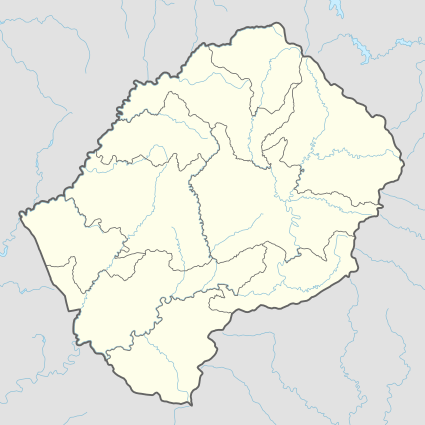
 PEL Location of the airport in Lesotho | |||||||||||
| Runways | |||||||||||
| |||||||||||
Pelaneng Airport (IATA: PEL, ICAO: FXPG) is an airport serving the settlement of Pelaneng, Lesotho.
The high elevation, unmarked airstrip sits on a narrow ridge south of the confluence of the Pelaneng and Malibamatso rivers, with rising terrain to the west and a 400+ ft drop into the river valley off the east end. Another higher ridge lies 2,500 feet (762 m) off the east end, requiring an angling final to runway 29. Landing east is less obstructed, but the downhill slope, short runway, and dropoff make it inadvisable.
Latest aerial imaging[3] shows an embanked roadway has been cut across the runway, rendering the runway unusable.
See also
- Transport in Lesotho
- List of airports in Lesotho

References
- ↑ Airport information for PEL at Great Circle Mapper.
- ↑ Google Maps - Pelaneng
- ↑ "Google Maps". Google Maps. Retrieved 2018-08-21.
External links
- Pelaneng Airport
- Google Earth
This article is issued from
Wikipedia.
The text is licensed under Creative Commons - Attribution - Sharealike.
Additional terms may apply for the media files.