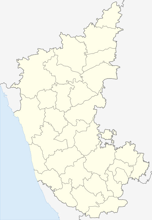
Pavagada
| Pavagada pamukonda | |
|---|---|
| town | |
 Pavagada Location in Tumakur, Karnataka, India | |
| Coordinates: 14°06′N 77°17′E / 14.10°N 77.28°ECoordinates: 14°06′N 77°17′E / 14.10°N 77.28°E | |
| Country |
|
| State |
|
| District | Tumkur |
| Government | |
| • Body | Municipal council |
| Elevation | 646 m (2,119 ft) |
| Population (2011)[1] | |
| • Total | 28,486 |
| Languages | |
| • Official | Kannada |
| Time zone | UTC+5:30 (IST) |
| PIN | 561 202 |
| Telephone code | 08136 |
| Vehicle registration | KA-64 |
| Website | http://www.pavagadatown.mrc.gov.in/ |
Pavagada is a rural village in the Tumkur district in Karnataka, India.[2] Historically it was part of the Mysore kingdom. Though it is geographically connected to Chitradurga district inside state of Karnataka, it comes under Tumkur district.[3] It is 157.8 km from state capital of Bangalore and Uttara Pinakini river flows in this Taluk.
The town is famous for its fort located on the hill, Kote Anjaneya temple at the foothills and also the temple of Sri Shani Mahatma.
Pavagada Solar Park, which will be Asia's largest Solar park, is coming up on a 10,000 acre land with the capacity to generate 2000 megawatt solar electricity. It's promoted by GV Balaram [4]
Geography
Pavagada is located at 14°06′N 77°16′E / 14.1°N 77.27°E.[5] It has an average elevation of 646 metres (2119 feet).
Demographics
As of 2011 India census,[6] Pavagada had a population of 28,486, of which 14,299 are males while 14,187 are females as per report released by Census India 2011. Males constitute 52% of the population and females 51.50%. Pavagada has an average literacy rate of 81.33%: male literacy is 88.33%, and female literacy is 75.36%. In Pavagada, 10.65% of the population is under 6 years of age.
Transportation
Pavagada is well-connected to other places in India. It has KSRTC & APSRTC buses which connect to other places of Karnataka and neighboring Andhra Pradesh. There is a railway station being built in Pavagada under the project of Rayadurga-Tumkur Railway Line. This railway will connect Pavgada to Bangalore to Bellary via Tumkur and Rayadurga.
See also
References
- ↑ "Census of India Search details". censusindia.gov.in. Retrieved 10 May 2015.
- ↑ http://www.pavagadatown.mrc.gov.in/
- ↑ "TUMKUR DISTRICT TOURIST PLACES".
- ↑ http://kannada.oneindia.com/news/tumkur/karnataka-to-set-up-asia-s-biggest-solar-park-in-pavagada-094157.html
- ↑ Falling Rain Genomics, Inc - Pavagada
- ↑ "Census of India 2011: Data from the 2011 Census, including cities, villages and towns (Provisional)". Census Commission of India. Archived from the original on 2004-06-16. Retrieved 2008-11-01.