Paohanli Peak
| Paohanli Peak | |
|---|---|
| Paunhuri | |
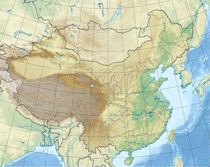 Paohanli Peak Location in China | |
| Highest point | |
| Elevation | 7,128 m (23,386 ft) |
| Coordinates | 27°56′04″N 88°50′38″E / 27.93444°N 88.84389°ECoordinates: 27°56′04″N 88°50′38″E / 27.93444°N 88.84389°E |
| Geography | |
| Location | Tibet, China / Sikkim, India |
Paohanli Peak or Paunhuri (simplified Chinese: 泡罕里峰; traditional Chinese: 泡罕里峰 ; Standard Tibetan: ???,is a 7,128-metre-high (23,386 ft) peak at the border of Zarkang, Yadong County, Tibet (China) and Sikkim (India). From the north to the south, near Paohanli Peak there are four peaks with an altitude of over 6,500 m (21,325 ft): Molayi, Tovhenyolu, Qijolabje and Kanchangbinshong.[1][2]
References
- ↑ "泡罕里山(7126米)". 中国西藏网. 2004-01-04. Retrieved 2013-07-13.
- ↑ "Qomo Lhari Peak(7,3l4m) and Paohanli Peak(7,126m)". China Tibet Information Center. 2004-02-04. Retrieved 2013-07-13.
External links
This article is issued from
Wikipedia.
The text is licensed under Creative Commons - Attribution - Sharealike.
Additional terms may apply for the media files.