Otaci
| Otaci Атаки | |||
|---|---|---|---|
| Town | |||
 | |||
| |||
 Otaci | |||
| Coordinates: 48°25′48″N 27°47′38″E / 48.43000°N 27.79389°E | |||
| Country |
| ||
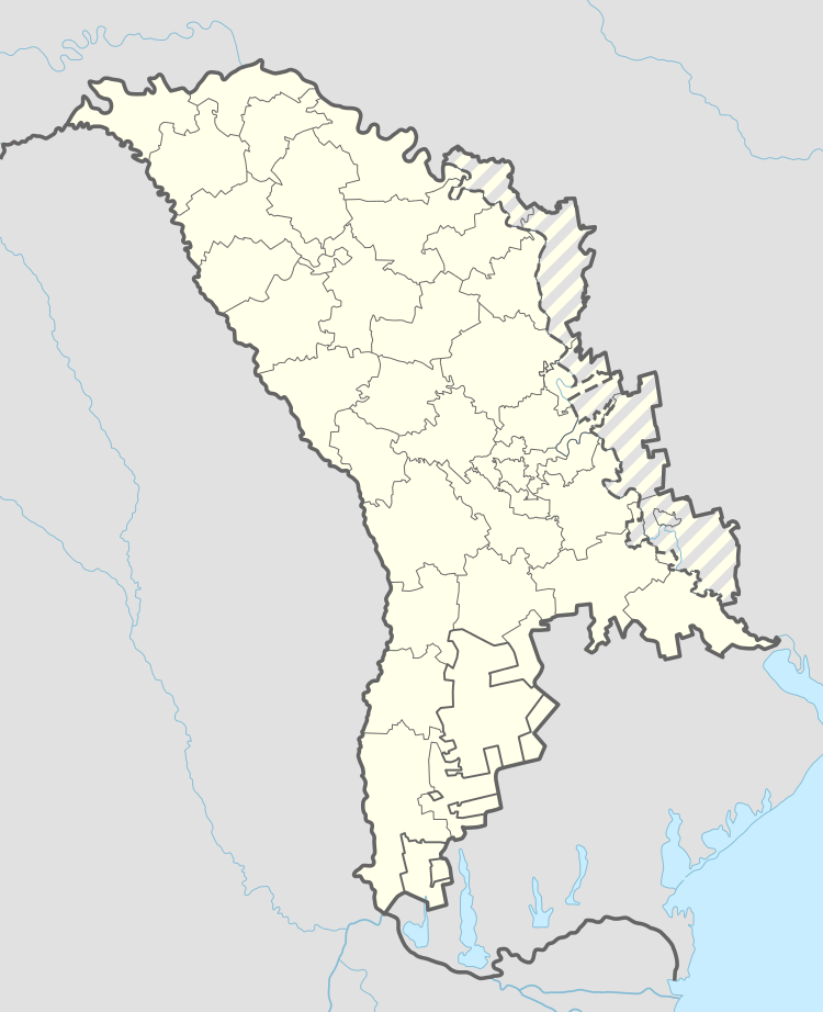
| District | Ocnița District | ||
| Government | |||
| • Mayor | Vasili Traghira (2015; PDM)[1] | ||
| Area | |||
| • Total | 3.8 km2 (1.5 sq mi) | ||
| Elevation | 120 m (390 ft) | ||
| Population (2014)[2] | |||
| • Total |
| ||
| Time zone | UTC+2 (EET) | ||
| • Summer (DST) | UTC+3 (EEST) | ||


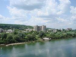
Otaci (formerly Ataki, Russian Атаки) is a town (population 8,400) on the southwestern bank of the Dniester River, which at that point forms the northeastern border of Moldova. On the opposite side of the Dniester lies the Ukrainian city of Mohyliv-Podilskyi, and the two municipalities are connected by a bridge over the river. Otaci is located in Ocnița District.
It is first attested in the 15th century; as part of Bessarabia, it was given by the Ottoman Empire to the Russian Empire following the Russo-Turkish War, 1806-1812, although the region belonged to Moldavia (a vassal state of the Ottomans), and by the 1890s it had become a poor, heavily Jewish village. In April 1918, during the last stages of World War I, it became part of Romania. In 1940, as a consequence of the Molotov–Ribbentrop Pact, the Red Army entered Bessarabia and incorporated it into the USSR. In 1991 Moldova became independent, and in 1994 Otaci achieved the status of oraş (city).
References
- ↑ "Lista primarilor aleși în cadrul Alegerilor Locale Generale din 14 iunie 2015" (in Romanian). Central Election Commission of Moldova. 2015. Retrieved 2016-04-15.
- ↑ Results of Population and Housing Census in the Republic of Moldova in 2014: "Characteristics - Population (population by communes, religion, citizenship)" (XLS). National Bureau of Statistics of the Republic of Moldova. 2017. Retrieved 2017-05-01.
Further reading
- Ataki/Atachi/Otaci (pp. 350-353) at Miriam Weiner's Routes to Roots Foundation
External links
- Otaci, Moldova at JewishGen
- 'Jewish Encyclopedia' article (1900)
- 'Otaci/ Jewish Cemetery'
- Former building of Synagogue'
Coordinates: 48°26′N 27°48′E / 48.433°N 27.800°E
| Municipalities | ||
|---|---|---|
| Capitals of autonomous units | ||
| District seats4 | ||
| Other towns | ||
1 In Transnistria. 2 Controlled by the Transnistrian authorities. 3 Also a municipality. 4 The seat of Dubăsari District is the commune of Cocieri (not a city). | ||
| Authority control |
|---|