Florești, Moldova
| Florești | |||
|---|---|---|---|
| |||
 Florești | |||
| Coordinates: 47°53′36″N 28°18′05″E / 47.89333°N 28.30139°ECoordinates: 47°53′36″N 28°18′05″E / 47.89333°N 28.30139°E | |||
| Country | Moldova | ||
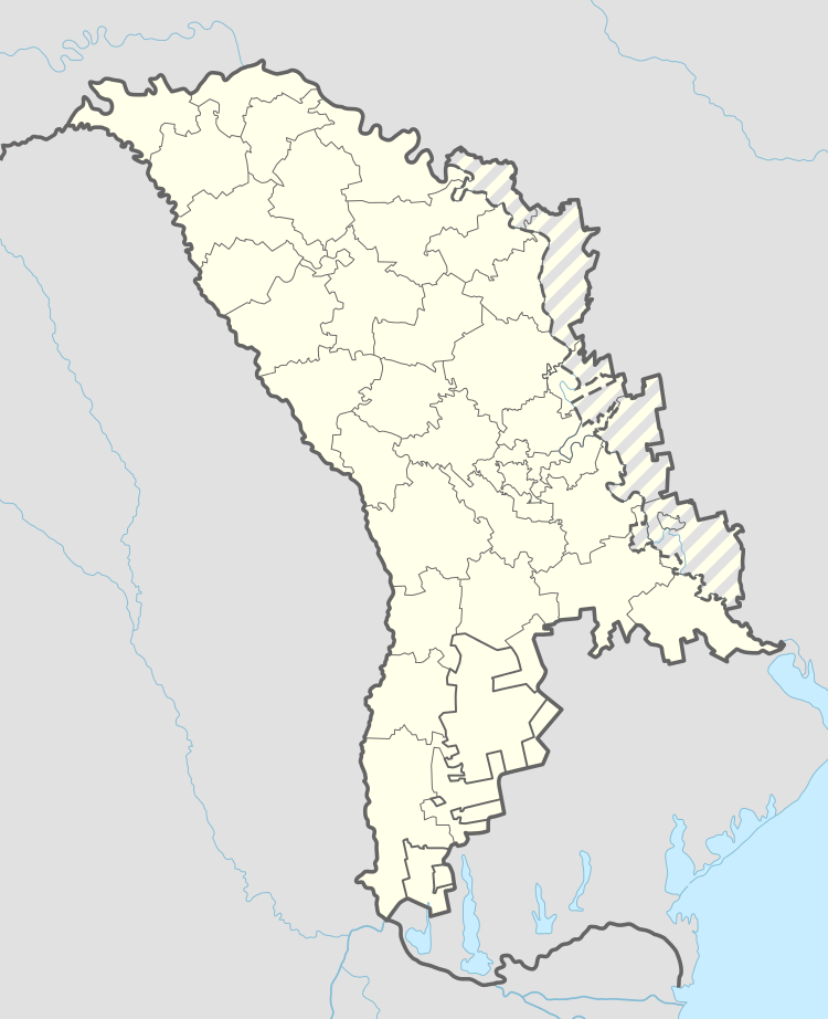
| County | Floreşti District | ||
| Founded | 20 August 1588 | ||
| Government | |||
| • Mayor | Iurie Ţap | ||
| Area | |||
| • Total | 15.12 km2 (5.84 sq mi) | ||
| Elevation | 88 m (289 ft) | ||
| Population (2014)[1] | |||
| • Total | 11,998 | ||
| • Density | 790/km2 (2,100/sq mi) | ||
| Time zone | UTC+2 (EET) | ||
| • Summer (DST) | UTC+3 (EEST) | ||
| Postal code | (MD-)5001–5002[2] | ||
| Area code(s) | +373 250 | ||
| Climate | Dfb | ||
Florești (Romanian pronunciation: [floˈreʃtʲ]; Russian: Флорешты), is the capital city and industrial and commercial center of Floreşti District of Moldova. It is located on the river Răut.
Name
The name comes from the Romanian word floare ("flower"). The old name of the settlement was Rădiul Florilor, which is also a derivative from the Romanian word for "flower".
Geography
The city is located in the north of the country, on the river Răut, a tributary of the Dniester.
Politics and administration
Florești is governed by the City Council and the City Mayor (Romanian: Primar), both elected once every four years. The current mayor is Iurie Ţap.
Notable people
Gallery
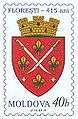 The first historical mention of Floreşti dates to 1588
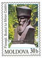
References
| Municipalities | ||
|---|---|---|
| Capitals of autonomous units | ||
| District seats4 | ||
| Other towns | ||
1 In Transnistria. 2 Controlled by the Transnistrian authorities. 3 Also a municipality. 4 The seat of Dubăsari District is the commune of Cocieri (not a city). | ||

This article is issued from
Wikipedia.
The text is licensed under Creative Commons - Attribution - Sharealike.
Additional terms may apply for the media files.